
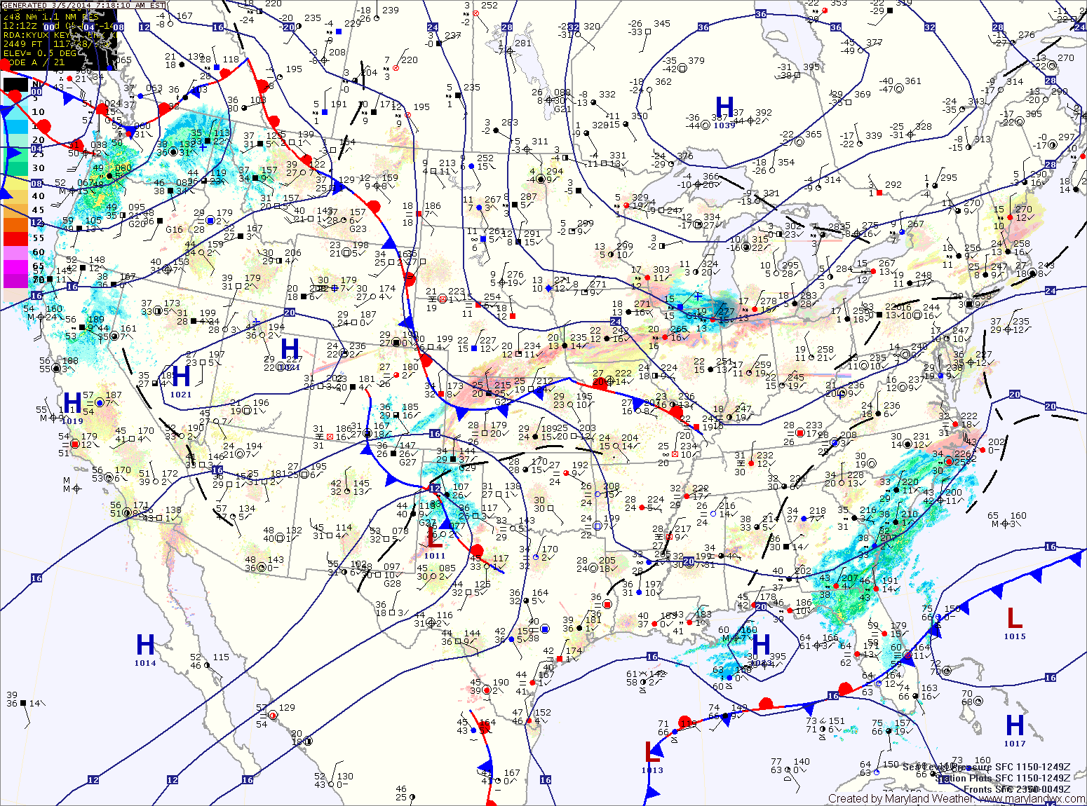
As an area of low pressure approaches from the south, winds will increase tomorrow. Expect partly sunny skies with highs in the mid 30s.
The low pressure should move off the coast far enough to our south to leave the state mostly dry. There is a slight chance of a showers across lower southern Maryland and the eastern shore Friday afternoon as the low slides off the coast. Highs on Friday will be in the mid 40s.
Saturday should be warmer and dry, with highs in the low to mid 50s under partly sunny skies.
A cold front will push through Saturday night into Sunday morning, bringing a slight chance of flurries or snow showers as it moves through. Highs on Sunday will be in the mid to upper 40s.
High pressure will build in for the first half of next week. Expect dry conditions and warmer temperatures into mid-week.
Another storm system may affect the area Wednesday night or Thursday.
Yesterday’s Weather Station Stats:
High Temp: 31.4°
Low Temp: 5.0°
Rain: 0.19″ (snow melt)