
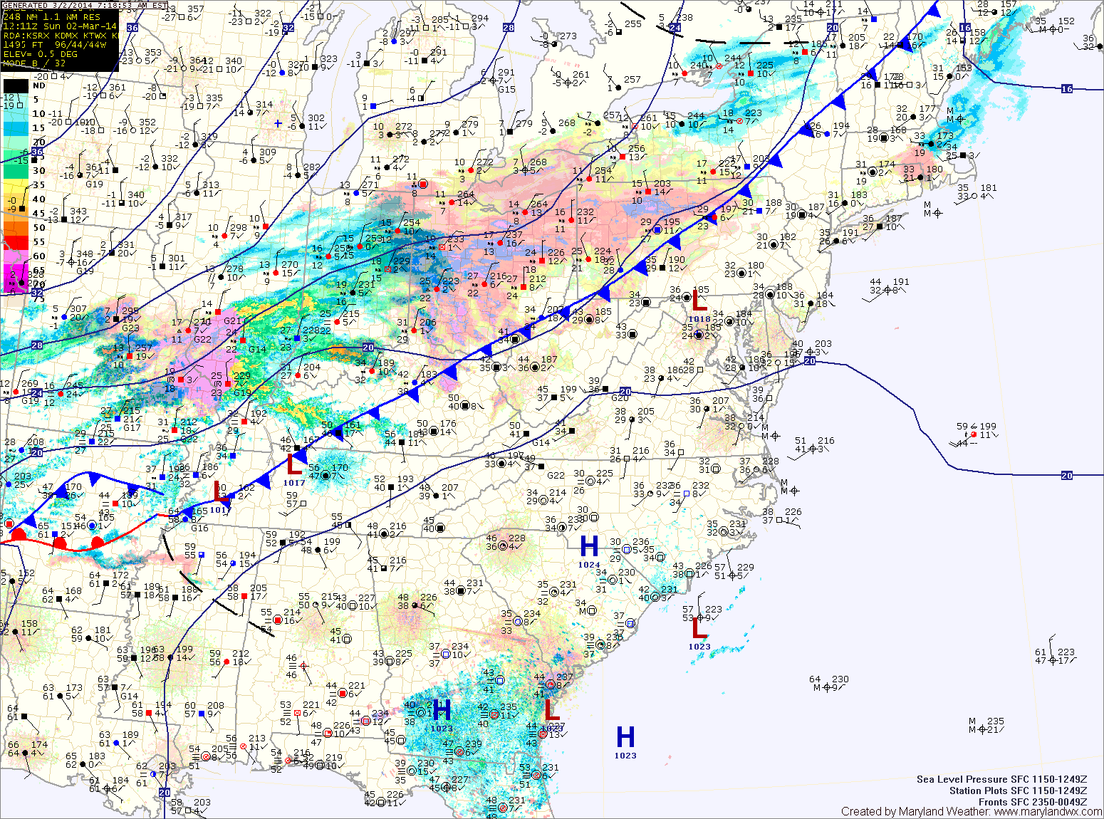
Today will be cloudy with highs in the mid 40s. Light rain will develop this afternoon and increase in coverage this evening. The rain will begin to mix with sleet late this evening and tonight as much colder air flows in from the north.
The rain/sleet mix will then transition to sleet and snow then eventually all snow by late tonight or early tomorrow morning. The snow will continue through the day tomorrow, heavy at times before tapering off late tomorrow afternoon or evening. Temperatures will plummet statewide, falling into the teens by the late afternoon on gusty north winds.
At this time, it appears the highest snowfall totals will be in central Maryland but this will be a high impact event across the entire state, even lower southern Maryland and the eastern shore where mixing is usually an issue.
Forecast snowfall totals:
4-8″: Somerset, Worcester
6-10″: Allegany, Calvert, Charles, Dorchester, Garrett, St. Mary’s, Washington, Wicomico
8-12″: N. Baltimore, Carroll, Cecil, Frederick, Harford
12″+: Anne Arundel, S. Baltimore, Caroline, Howard, Kent, Montgomery, Prince George’s, Talbot, Queen Anne’s
Behind the system, very cold air will settle into the region. Lows tomorrow night may be the coldest we’ve seen this winter, falling into the single digits to near 0.
Tuesday will feature clearing skies, with highs in the upper 20s.
Stay tuned to our Facebook page and Twitter feed for storm updates.