
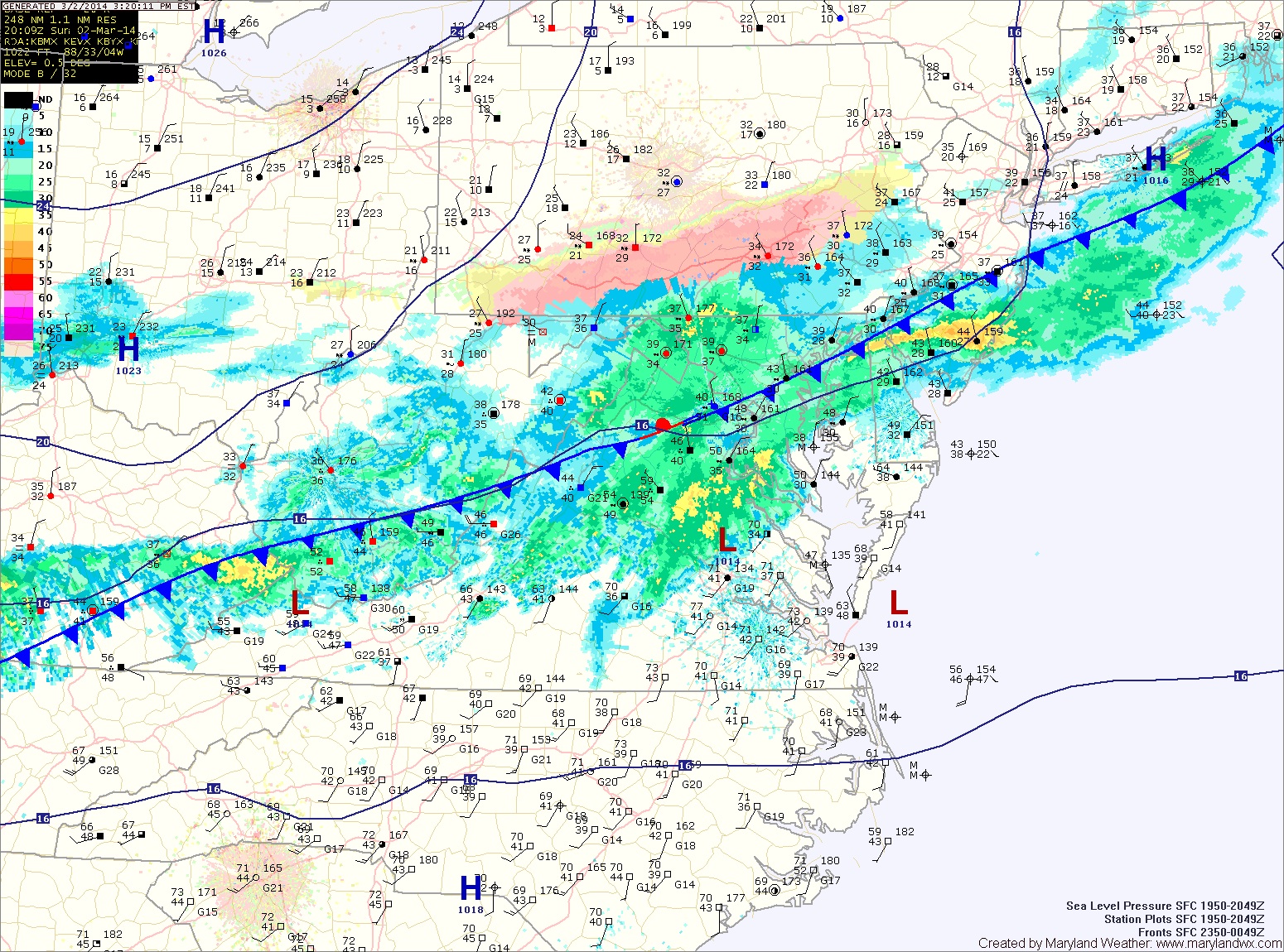
Rain has overspread the area and temperatures are falling. Expect the rain to continue into tonight, transitioning to sleet and eventually snow. The snow will continue, heavy at times tomorrow, tapering off during the late afternoon or evening hours.
The heaviest snow will fall across central and southern Maryland, where up to a foot is possible with isolated spots over a foot.
Final forecast snowfall totals:
4-8″: Somerset, Wicomico, Worcester
6-10″: Allegany, Garrett, Washington
8-12″+: Anne Arundel, Baltimore, Calvert, Caroline, Carroll, Cecil, Charles, Dorchester, Frederick, Harford, Howard, Kent, Montgomery, Prince George’s, St. Mary’s, Talbot, Queen Anne’s
Stay tuned to our Facebook page and Twitter feed for further storm updates.