
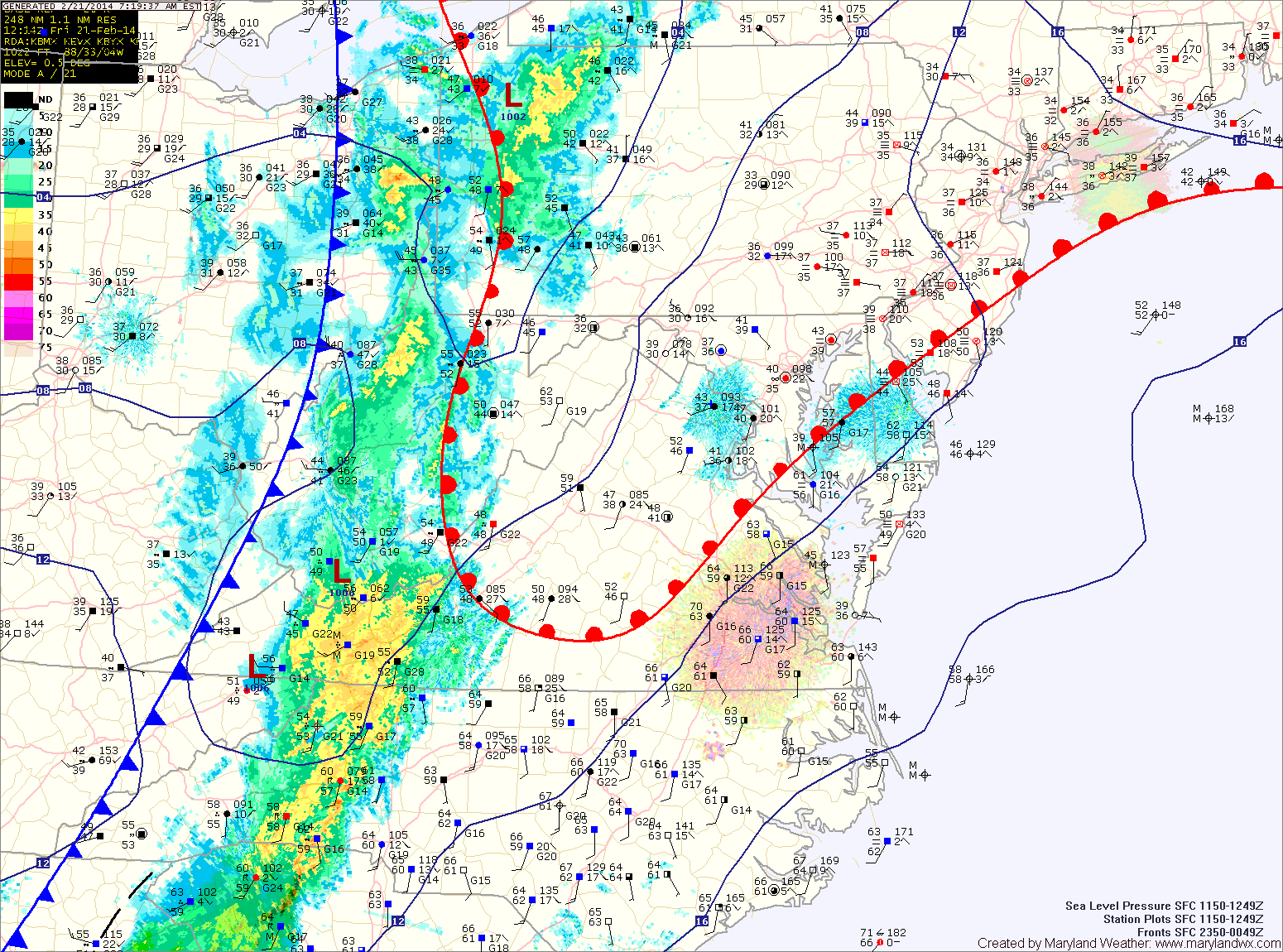
The warm front should make some more progress northward before the cold front arrives. Expect temperatures to reach the low to mid 50s in central Maryland, mid to upper 40s north and west.
Showers will arrive in the area over the next hour or so. A thunderstorm is also possible this morning as the front moves closer. Expect isolated heavy rainfall and gusty winds in any storms that develop.
The front should cross the entire state by early afternoon, gradually bringing an end to the rain threat.
High pressure will move in behind the front. This will lead to mostly sunny skies tomorrow, with highs in the mid to upper 50s.
Another cold front will push through on Sunday. Expect an increase in clouds during the morning and afternoon with this front, but no rain. Expect highs in the mid 50s.
Behind that front, Canadian high pressure will move into the region to begin next week. Monday’s highs will be in the mid 40s under mostly sunny skies.
Unsettled weather returns Tuesday and Wednesday with low pressure bringing the chance of wintry precipitation and highs in the mid to upper 30s.
After that, it turns much colder to end the week.
Yesterday’s Weather Station Stats:
High Temp: 52.5°
Low Temp: 28.2°
Rain: 0.00″