
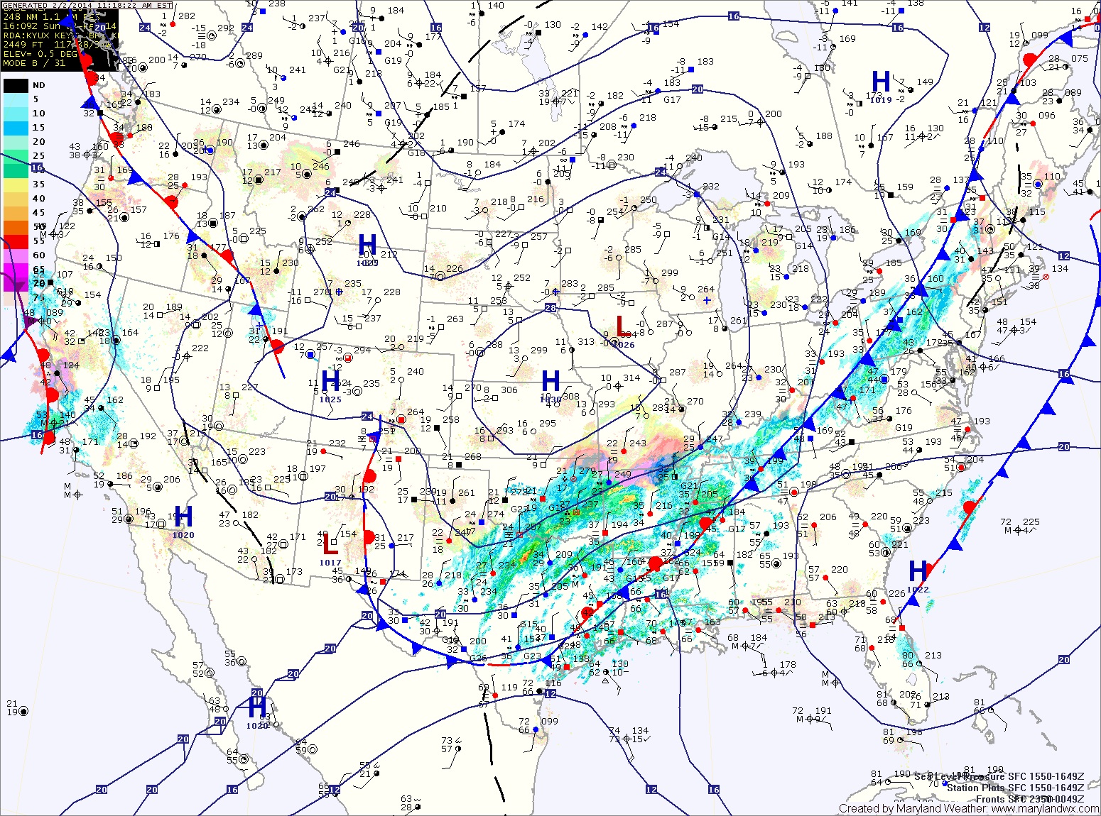
This low pressure will spread rain into the area tonight. As colder air moves in, the rain will change to snow from northwest to southeast.
A Winter Storm Watch has been issued for the counties along and west of I-95. In this area, the rain will change over to snow rather quickly and over 5 inches may fall.
Further south and east, the cold air will take longer to move in and the changeover will occur later, during the mid-morning hours. Another issue for snow accumulation in this area is that temperatures will be at or slightly above freezing, further limiting accumulations. Current thinking is that areas just east of I-95 will see an inch or two of snow, possibly less if temperatures stay above freezing.
Southern Maryland will likely see mostly rain, with a brief changeover to snow towards the end. Little to no accumulation is expected.
As for the timing, expect rain to develop tonight before midnight. The rain will change to snow during the early morning hours north and west of I-95, mid to late morning east of I-95 and after noon if at all in southern Maryland.
The snow will come to an end during the afternoon hours from west to east.
Snow totals:
North and west of I-95: 4-6″
East of I-95, including the eastern shore: A trace to 2″
Southern Maryland: mostly rain, ending as a period of snow, perhaps a dusting mainly on grassy surfaces
This forecast is based on the current expected storm track, should things change, an updated forecast will be made this evening.