
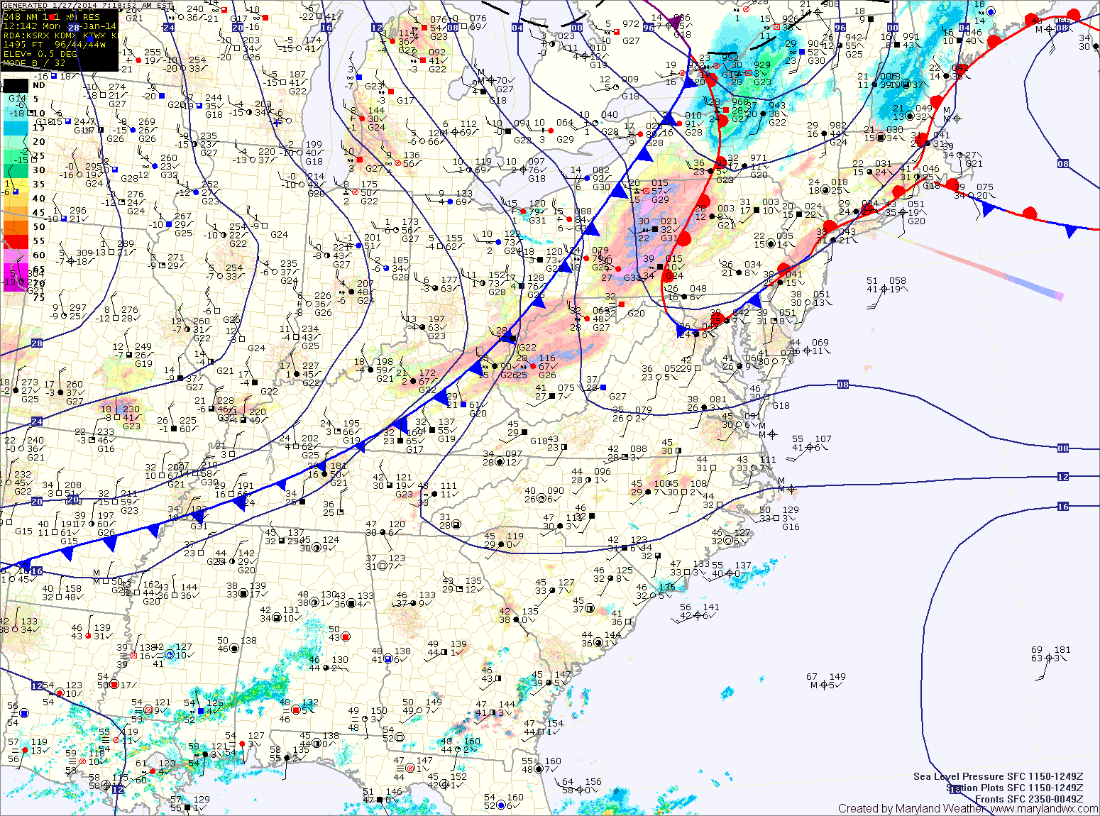
The front will make steady progress as it marches eastward today. Expect temperatures to begin to drop this afternoon, falling through the evening and reaching overnight lows in the single digits.
Tomorrow will be partly sunny, cold and windy. A Wind Chill Advisory goes into effect at 1am and will last through the morning hours as highs only reach the mid to upper teens tomorrow afternoon.
An area of low pressure will move by to our south Tuesday night and Wednesday bringing heavy snow to southeastern Virginia and the Carolinas. The northern edge of the storm may brush southern Maryland during the overnight hours Tuesday night but snow accumulations, if any, would be light.
We begin a warming trend on Wednesday. It will still be cold, but high temperatures will top out in the mid 20s under partly sunny skies.
Thursday will be even warmer, with highs around 30.
Highs on Friday should reach the upper 30s while Saturday and Sunday look even warmer with highs in the low 40s. There is a chance of light rain or snow Saturday and Sunday as another system moves through.
Yesterday’s Weather Station Stats:
High Temp: 30.3°
Low Temp: 16.1°
Rain: 0.00″