
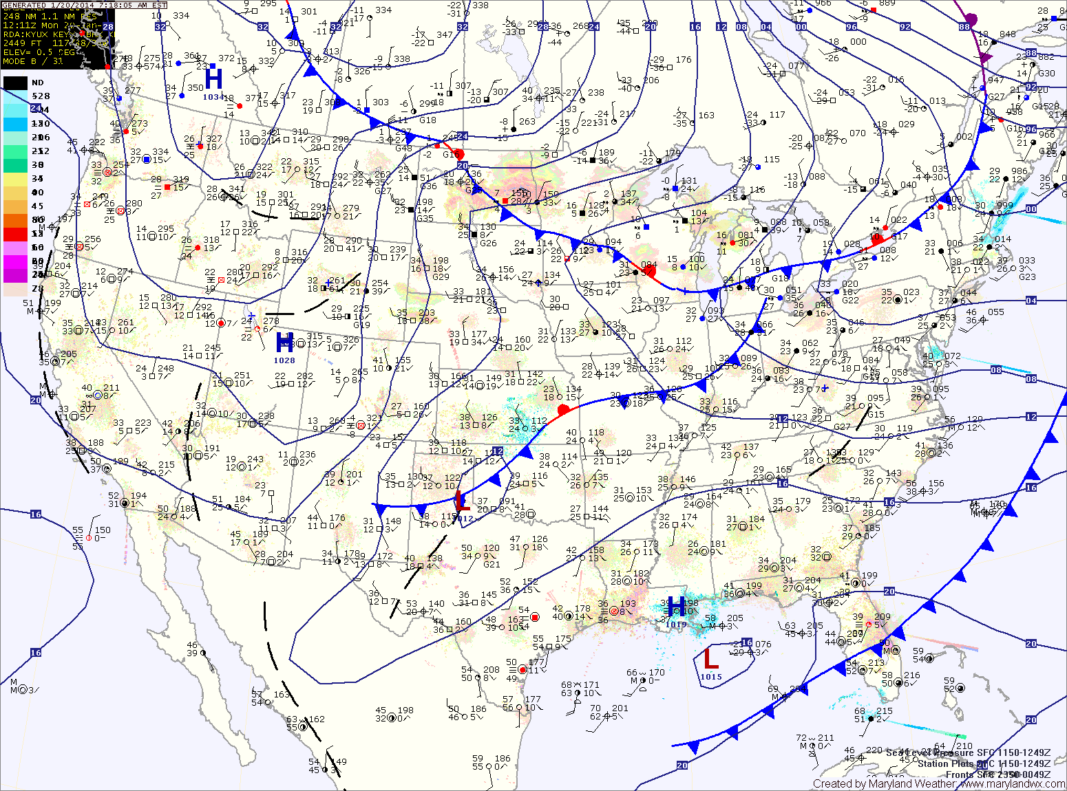
Clouds will increase tonight as an arctic cold front moves towards the area. An area of low pressure will develop along the front as it moves through. The low will pass by to our south, bringing accumulating snowfall to the area tomorrow into tomorrow night.
A Winter Storm Watch has been issued for the entire state. Accumulations over 5″ are possible, especially south and east of I-95.
The snow should develop during the morning hours and last through the evening. Temperatures will drop through the day, falling into the teens by evening.
The storm will move away from the area tomorrow night as cold high pressure moves in. Wednesday will be mostly sunny and very cold with highs in the mid to upper teens.
Temperatures will begin to moderate on Thursday but it will still be cold with highs in the low to mid 20s.
Friday will also be cold and dry with highs in the mid 20s.
Temperatures will warm a bit as we head into next weekend with highs in the 30s to near 40.
Yesterday’s Weather Station Stats:
High Temp: 45.9°
Low Temp: 19.7°
Rain: 0.00″