
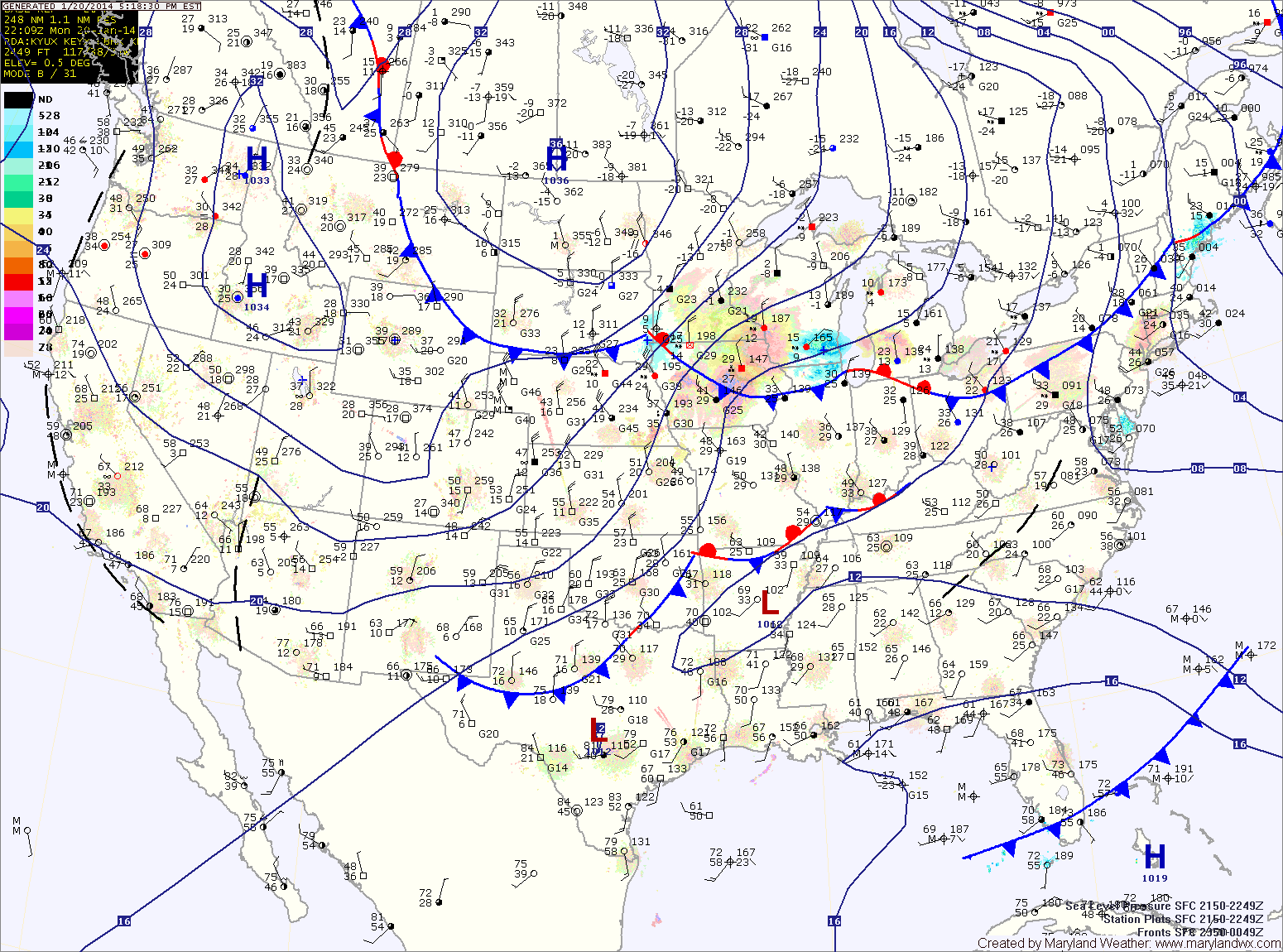
A Winter Storm Warning has been issued and goes into effect tomorrow morning for the entire state.
Snow will move into the area during the morning hours, starting around 3am in far western Maryland, between 8 and 10am in central Maryland and between 11 and noon on the eastern shore.
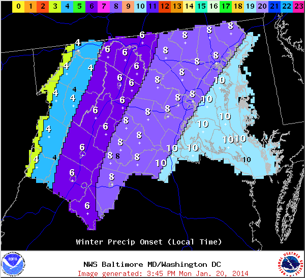
Due to the very cold air moving in, a general 6-10″ of fluffy dry snow is expected across the state from this storm system.
Additionally, strong gusty winds will cause blowing and drifting of the snow. Lows tomorrow night will drop into the single digits and it will feel even colder as winds gust to around 25mph behind the departing storm.