
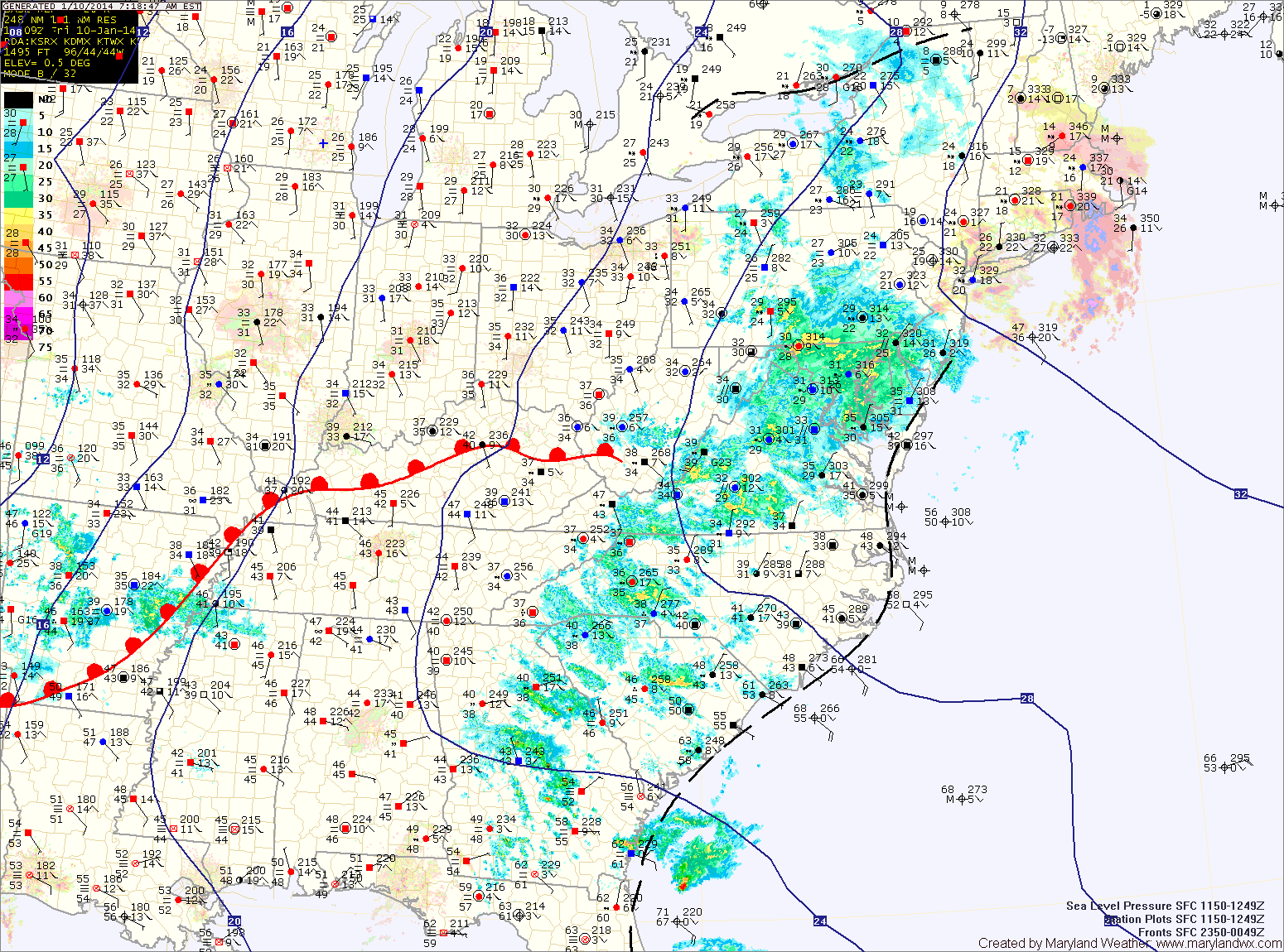
A Freezing Rain Advisory remains in effect for most of the state until 9am for central Maryland, 11am north and west and on the eastern shore.
More substantial rainfall is likely tonight and tomorrow as a cold front approaches from the west. Rainfall totals of near 2″ are possible before it comes to an end tomorrow evening. It will also be much warmer tomorrow with highs around 60 degrees.
Sunday will feature mostly sunny skies and highs around 50.
Monday will feature increasing clouds as another frontal system moves towards the area. Highs will be in the low 50s.
Rain is possible Tuesday as the front moves through. Highs will be in the mid to upper 40s.
The middle to end of next week will likely turn colder once again as cold Canadian air works into the eastern US.
Yesterday’s Weather Station Stats:
High Temp: 35.2°
Low Temp: 24.3°
Rain: 0.00″