
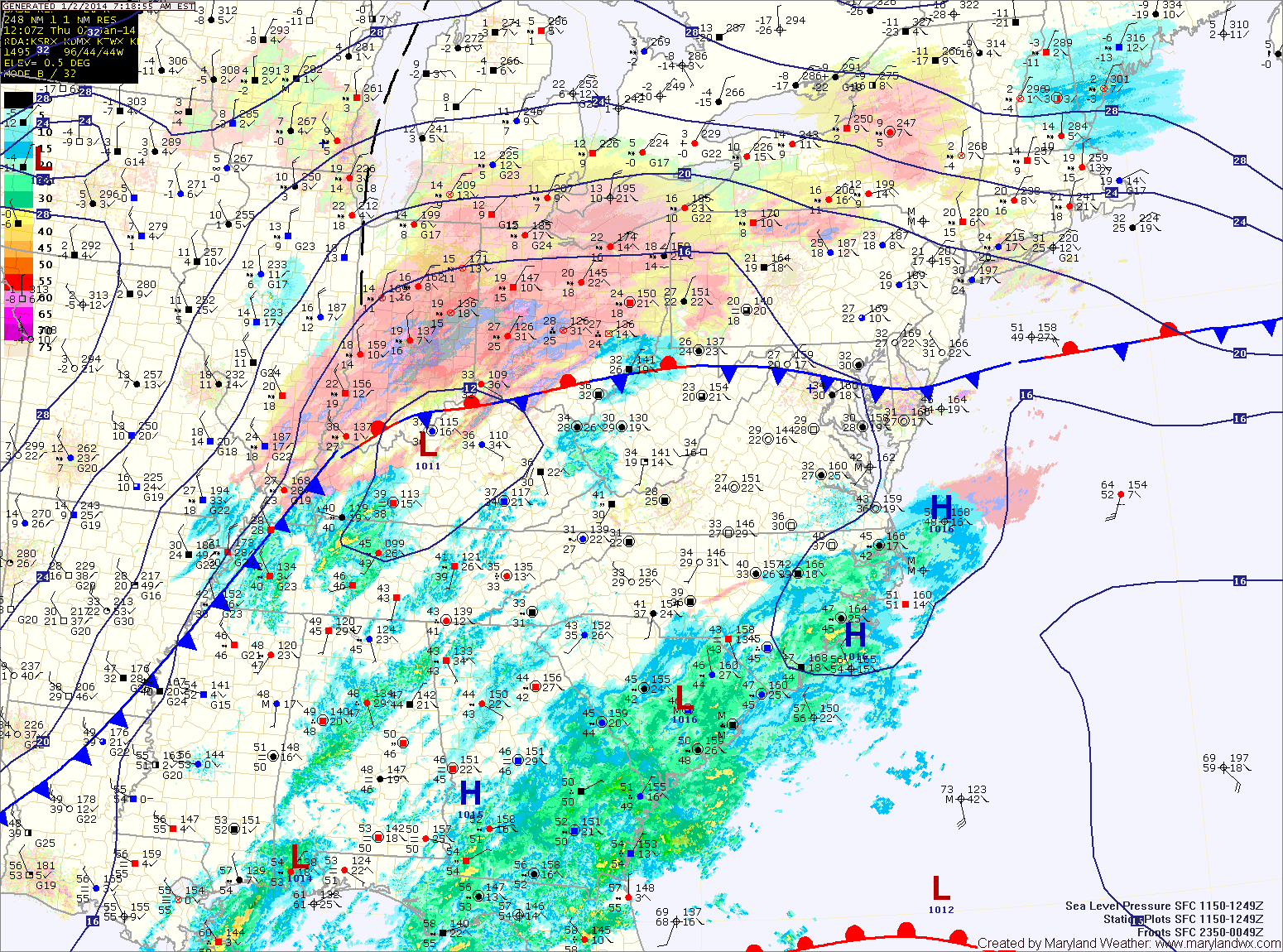
Generally, 1-3″ are likely across central and southern Maryland while 2-4″ are likely across northern Maryland. A Winter Weather Advisory is in effect for that area.
The storm will strengthen rapidly as it pulls north of the area tonight into tomorrow. Winds will pick up, gusting to around 30mph as colder air is pulled into the area. Highs tomorrow will only be in the upper teens to around 20.
Temperatures will warm this weekend as southerly flow develops. Saturday will be mostly sunny with highs in the low to mid 30s.
Another storm system will move into the area Sunday, bringing a light rain/snow mix that will change to rain and last into Monday. Behind that system, another shot of very cold arctic air will move in. Highs on Monday will be near 50, but will fall into the low teens Monday night.
Tuesday will be mostly sunny, windy and very cold with highs near 20.
It will be dry and cold through most of the week, before another storm system potentially affects the area by week’s end.
Yesterday’s Weather Station Stats:
High Temp: 43.2°
Low Temp: 23.4°
Rain: 0.00″