
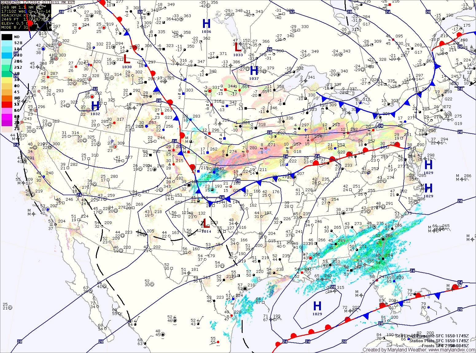
A northern stream of energy currently over the midwest is sliding south and east towards the coast while a storm system is developing along the Gulf coast. These two pieces of energy will combine to form one low off the mid-atlantic coast. The combined storm will intensify as it moves northeastward and will likely bring blizzard-like conditions to areas of the northeast.
Here in Maryland, the storms will combine too far north to bring significant snowfall to the state. Current trends favor a light snowfall in the order of 1-3 or 2-4 inches with highest amounts in the northeast portion of the state.
Light rain or snow is expected to develop during the evening tomorrow, changing to snow tomorrow night. The snow will continue into Friday morning before coming to an end. Winds will also increase during the early morning hours, gusting into the 30mph range.
Friday will be windy and cold with highs only rising to near 20 degrees. Combined with winds gusting to 30mph will produce extremely cold wind chill values.
The coldest air of the season will continue to push into the area Friday night. Lows will range from near 0 degrees in the mountains to low teens in lower southern Maryland.
Another system will bring a rain/snow mix to the area on Sunday and will usher in another shot of frigid arctic air to start next week.
As always, this forecast could change as more data comes in. If a significant change in the forecast is necessary, I will post an update.