
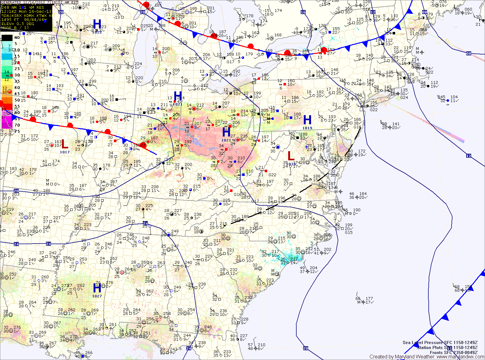
Tonight, a clipper system will approach from the west, bringing a swath of light snow through the area into tomorrow morning.
The precip will be light and totals of an inch or less are expected with the highest amounts near the Mason-Dixon line.
The snow should come to an end during the afternoon hours as westerly winds increase. Highs will be in the upper 30s.
High pressure builds in on Wednesday resulting in partly sunny skies and highs around 40.
The high moves off the southeast coast Thursday leading to a warming trend that will last into the weekend. Highs on Thursday will be around 50, warming into the mid 50s on Friday.
Another cold front will approach Friday night into Saturday before stalling out near the area through the weekend. The front will bring scattered showers to the area Friday evening through Saturday. Additionally, an area of low pressure may develop on the front and move through Sunday and Monday. If this occurs, heavy rain would be likely both days.
Highs will be in the 50s Saturday and Sunday, cooling back into the 40s on Monday.
Yesterday’s Weather Station Stats:
High Temp: 45.1°
Low Temp: 32.8°
Rain: 0.05″