
Highs this afternoon will only be a few degrees warmer than current temperatures, topping out around 30.
Tomorrow will be a few degrees warmer with highs pushing into the mid to upper 30s under partly sunny skies.
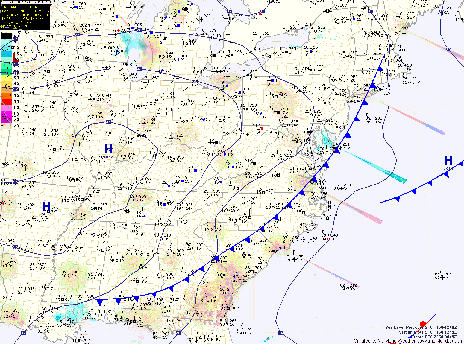
An area of low pressure forming over Texas will move along the Gulf coast and turn northeastward towards our area and impact the area on Saturday. At this time, it appears the storm will move off the east coast and bring wintry precipitation to the state.
Currently it appears snow will break out late Saturday morning into the afternoon before transitioning to a wintry mix late Saturday into Saturday night. The details of how much of each precip type that can be expected will be worked out tomorrow.
After the storm moves out, expect a quiet stretch as we move into next week.
Yesterday’s Weather Station Stats:
High Temp: 38.8°
Low Temp: 23.1°
Rain: 0.03″