
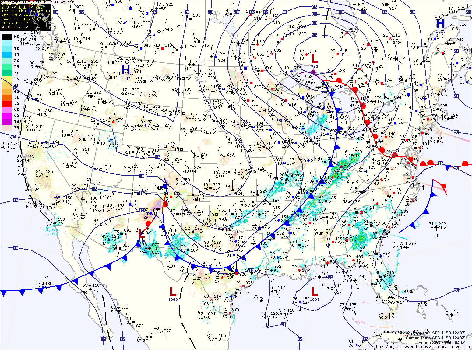
A cold front is approaching from the west and will move into the area tonight. Expect showers to break out before daybreak tomorrow morning.
Rain chances will increase through the day tomorrow and last thorough tomorrow night. Highs will be in the low to mid 50s tomorrow.
Saturday will be a transition day, as the cold front settles to our south allowing partial clearing. It will be colder with highs in the low 40s.
Cold high pressure will continue to settle into the region late Saturday and Saturday night. This will set the stage for Sunday as an area of low pressure approaches from the southwest.
The low will pass by to our west, putting us on the warm side of the system but the cold air that is in place will be trapped east of the mountains in a cold air damming scenario. The result will be a mix of precipitation starting Sunday morning. At the onset, it may be cold enough aloft for snow but the precipitation should quickly change to sleet and freezing rain.
Depending on the strength of the cold air wedge, we could see several hours of frozen precipitation before it changes to plain rain. Current model trends are for a colder scenario with sleet and freezing rain lasting into Sunday night. There is the potential for a significant ice accumulation, especially west of I-95.
By late Sunday night or early Monday morning, the precipitation should become all rain from east to west. The rain will last through Monday and into Monday night when it may briefly change back to snow before ending as colder air filters back in behind the system.
The exact timing and amount of each precip type will be worked out over the next day or two.
Yesterday’s Weather Station Stats:
High Temp: 52.4°
Low Temp: 35.1°
Rain: 0.00″