
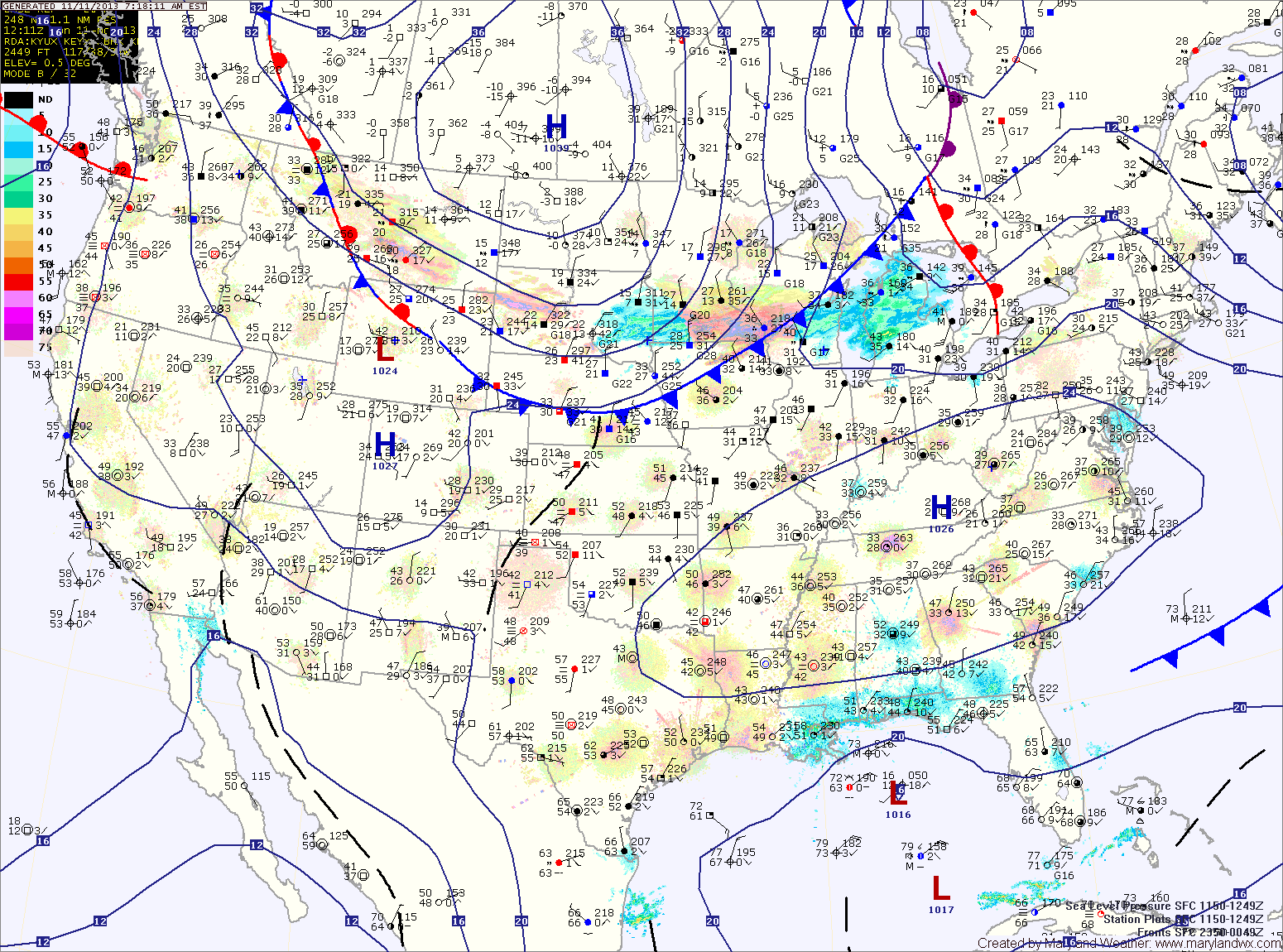
A strong cold front will move into the region tonight and through by tomorrow morning. The front will bring scattered showers, possibly ending as snow showers tomorrow morning. The front will also bring very cold air to the region on gusty northwest winds. Highs tomorrow will be around 40 degrees with wind gusts to near 25 mph.
Overnight lows Tuesday night will dip into the mid to upper 20s.
Wednesday will be sunny but blustery and cold, with highs in the low 40s.
Temperatures will begin to moderate on Thursday as the cold high pressure slides off the coast and southerly flow develops. Highs on Thursday will be in the upper 40s under mostly sunny skies.
Friday will see a bit more clouds, but highs will continue to climb, pushing into the mid 50s.
Saturday looks to be partly sunny, with a slight chance of showers as another system moves towards the area. Highs will be in the mid to upper 50s.
There is a better chance of rain on Sunday as the storm system moves into the region.
Yesterday’s Weather Station Stats:
High Temp: 62.0°
Low Temp: 41.6°
Rain: 0.00″