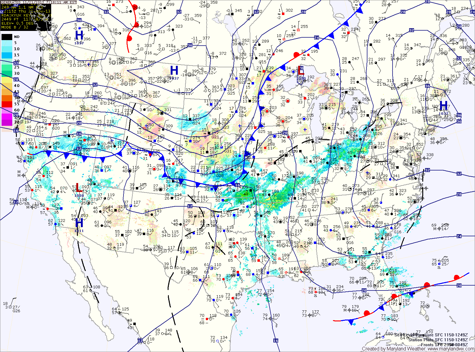
Showers Today; Cold Frontal Passage Tonight

Current Surface Map
Current Surface Map
Light showers have broken out ahead of a cold front that is approaching from the west. The front will continue moving eastward and will cross the state by late this evening. Highs today will be around 60 degrees.

Skies will begin to clear overnight as colder air begins to filter into the area. Tomorrow will feature temperatures falling with winds increasing through the day. Temperatures will dip into the low 40s by evening.

Sunday will be cold and windy with a passing flurry possible. Highs will only reach the mid 30s with strong northwest winds gusting over 30 mph.

Cloudy Today and Tomorrow; Cold Front Crosses Tomorrow Night

Current Surface Map
Current Surface Map
High pressure will shift off the coast today. Southerly flow will develop as it does which will increase cloud cover today and tomorrow. Highs today will be in the low 50s.

Highs tomorrow will be in the low 60s under cloudy skies.

A cold front will push into the region tomorrow night, spreading showers into the area. Shower chances will increase on Saturday as the front pushes through.

The front should clear the area during the afternoon or evening hours. Highs will be in the low 50s.

Becoming Sunny Today; Continued Cool

Current Surface Map
Current Surface Map
Expect clearing skies and continued colder than normal temperatures. Highs will top out in the upper 40s.

High pressure will slide off the coast tomorrow allowing high clouds to increase again and temperatures to rise a bit. Highs will be in the low 50s under partly sunny skies.

A cold front will approach on Friday, increasing southerly flow and bringing in even milder air. Highs on Friday will be in the upper 50s under partly sunny skies.

The front will move closer Friday night, spreading showers into the area. Showers will continue to affect the state Saturday into Saturday evening before the front moves through. Highs on Saturday will be in the mid 50s.

Becoming Sunny Today; Dry Through End of the Week

Current Surface Map
Current Surface Map
As high pressure continues to build in, expect clearing skies and cooler temperatures. It will also turn breezy this afternoon. Highs today will be in the upper 40s to around 50.

The high will move overhead tomorrow, diminishing winds. It will be mostly sunny with highs in the upper 40s.

As the high moves off the coast on Thursday, southerly flow will bring in slightly warmer air and a few more clouds. Highs on Thursday will be in the low to mid 50s under partly sunny skies.

Friday will be a few degrees warmer, with highs in the mid to upper 50s under partly sunny skies.

Becoming Mostly Sunny and Warm Today; Colder Tomorrow

Current Surface Map
Current Surface Map
A strong cold front is pushing off the coast this morning. Westerly winds will increase today behind the front. The winds will warm the air, leading to highs in the upper 60s under mostly sunny skies.

As high pressure builds in, the winds will turn more northwesterly and colder air will begin to filter into the region. Winds will continue to gust to around 25 mph into tomorrow. Highs tomorrow will top out in the upper 40s under sunny skies.

Wednesday will be similar to tomorrow but with light winds. Highs in the upper 40s under mostly sunny skies.

Partly Sunny Today; Showers Likely Tonight into Tomorrow Morning

Current Surface Map
Current Surface Map
High pressure will continue to slide off the Carolina coast today and clouds will begin to increase as an area showers over the southeast move toward the area. Highs today will be in the mid to upper 50s.

The area of showers will move through tonight and early tomorrow morning. Tomorrow will end up partly sunny, with highs in the mid 50s.

Clouds will increase again on Sunday and scattered showers may develop during the afternoon. Highs will be in the mid 60s.

A cold front will spread showers through the state Sunday night and Monday before pushing off the coast Monday afternoon. Highs will top out in the mid 60s before falling behind the front.

Sunny Today; Warming Trend into the Weekend

Current Surface Map
Current Surface Map
High pressure to our south will continue to provide clear skies today as temperatures rebound a bit and warm into the mid 50s.

Tomorrow will be mostly sunny and even warmer, with highs approaching 60 degrees.

Clouds will increase tomorrow night as a piece of upper level energy moves by to our south and east. This system will bring a slight chance of a sprinkle early Saturday morning before moving away. Otherwise, Saturday will be partly sunny with highs around 60.

Scattered showers will develop Sunday ahead of the next cold front that will move through on Monday. Sunday’s highs will be in the low to mid 60s.

Cold and Breezy Today; Dry into the Weekend

Current Surface Map
Current Surface Map
As cold high pressure continues to push into the area, expect mostly sunny skies today. It will be breezy and cold, with highs in the low to mid 40s.

Another cold night is on tap tonight, with lows dipping into the mid 20s once again.

Temperatures begin to moderate tomorrow under continued sunny skies. Highs will be in the mid 50s.

As the high slides off the coast, a more southerly flow will develop. As a result, clouds will increase a bit on Friday but temperatures will continue to warm with highs expected to push into the upper 50s.

Arctic Front Moving Through

Current Surface Map
Current Surface Map
An arctic cold front is moving through the region, bringing much colder air, gusty winds and scattered snow showers as it does. Today’s high temperature was 53 degrees at midnight.

Temperatures will continue to fall into the 30s this morning before rebounding a little this afternoon, topping out around 40 degrees. East of the mountains, no snow accumulation is expected.

Tomorrow will be sunny but breezy and cold, with highs in the low to mid 40s.

With high pressure overhead, Thursday will be sunny with light winds and highs in the upper 40s.

Mostly Sunny Today; Strong Cold Front Moves Through Tonight

Current Surface Map
Current Surface Map
Today will be mostly sunny with a high in the mid 50s.

A strong cold front will move into the region tonight and through by tomorrow morning. The front will bring scattered showers, possibly ending as snow showers tomorrow morning. The front will also bring very cold air to the region on gusty northwest winds. Highs tomorrow will be around 40 degrees with wind gusts to near 25 mph.

Overnight lows Tuesday night will dip into the mid to upper 20s.

Wednesday will be sunny but blustery and cold, with highs in the low 40s.