
A disturbance will spread clouds and possibly a shower into the area tonight and tomorrow. Otherwise, expect partly sunny skies with highs in the mid 60s.
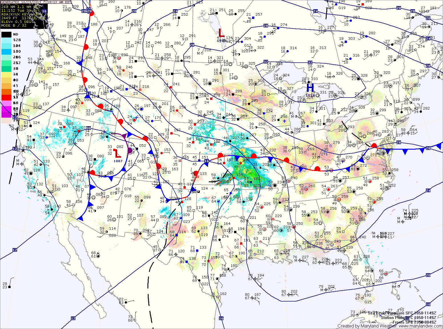
A cold front will approach on Thursday, spreading abundant Gulf moisture northward into the region. Scattered showers are possible Thursday evening. Highs will be near 70.
More wide-spread showers are expected Thursday night and there could even be a few embedded thunderstorms. These storms could produce strong gusty winds.
The rain will likely continue through most of Friday before the front clears Friday evening. Highs will be in the low 70s.
The front will likely stall just to our south by Saturday. An area of low pressure may form along the front and move by just to our south. Right now it appears it will be far enough away to keep the area dry with highs in the mid 60s.
High pressure builds in on Sunday. It will be breezy with highs in the mid 50s.
Yesterday’s Weather Station Stats:
High Temp: 63.3°
Low Temp: 32.4°
Rain: 0.00″