
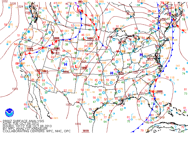
Clouds will increase again tomorrow as an area of low pressure that was originally Tropical Storm Karen moves up the east coast. Rain from this system will move into the area tomorrow night. Highs tomorrow will be in the mid 60s.
The slow moving low pressure will bring more rain to the area on Thursday. The rain could be heavy at times. Highs will be in the mid 60s.
The rain will likely linger into Friday before the low begins to move away. Highs will again be in the mid 60s.
There is a deal of uncertainty regarding the weekend. The models are having trouble determining how long the low will stick around, but for now it appears it should clear the area Friday night, leading to a drier weekend with highs near 70 both Saturday and Sunday.
Yesterday’s Weather Station Stats:
High Temp: 75.4°
Low Temp: 54.9°
Rain: 0.87″