
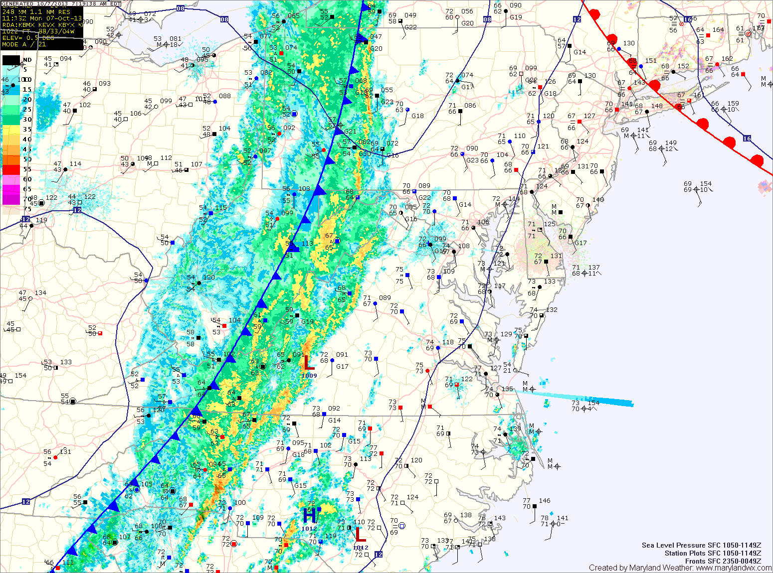
Some of the storms may become severe this afternoon, with damaging wind being the main threat. An isolated tornado cannot be ruled out. Rainfall totals of over an inch are possible from this system. Highs will be in the mid 70s.
The rain will taper off this evening, into tonight. High pressure builds in tomorrow bringing sunny skies and highs in the upper 60s.
A weak area of low pressure will slowly move up the coast Wednesday through Friday. This will bring a slight chance of rain to our area late Wednesday afternoon through Friday. Highs will be in the mid to upper 60s each day under cloudy skies.
The rain should move out of the area by the weekend, but clouds may stick around. Highs on Saturday and Sunday will be in the upper 60s to low 70s under partly sunny skies.
Yesterday’s Weather Station Stats:
High Temp: 86.1°
Low Temp: 62.5°
Rain: 0.00″