Another Dry Week Ahead; Rain Chances Increase this Weekend

Current Surface Map
Current Surface Map
A weak cold front will continue to weaken as it moves through today. Expect nothing more than a few high clouds and a wind shift this afternoon. Highs will be in the mid 70s.

Tomorrow will be partly sunny and warm, with highs around 80 degrees.

Wednesday will feature even more sunshine and warmer temperatures. Highs will be in the low to mid 80s.

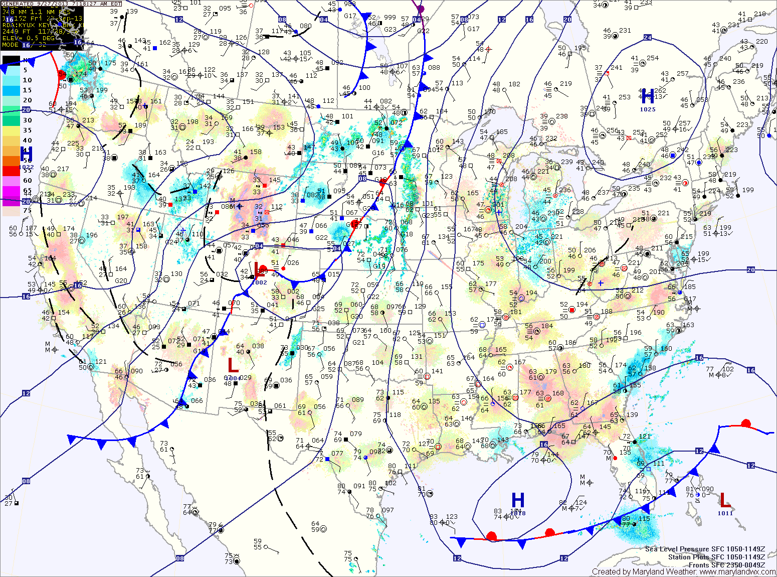
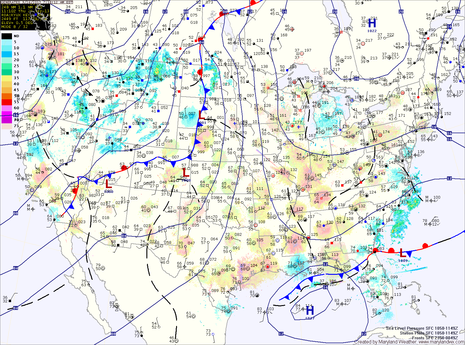
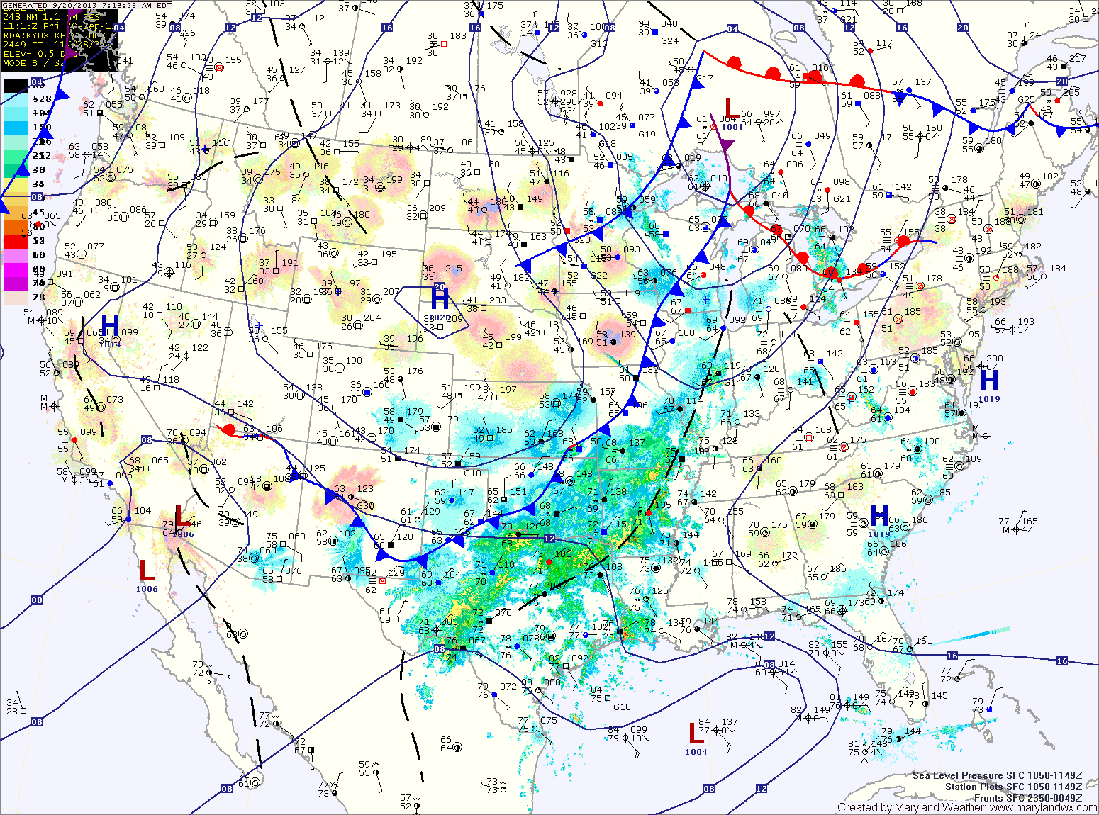
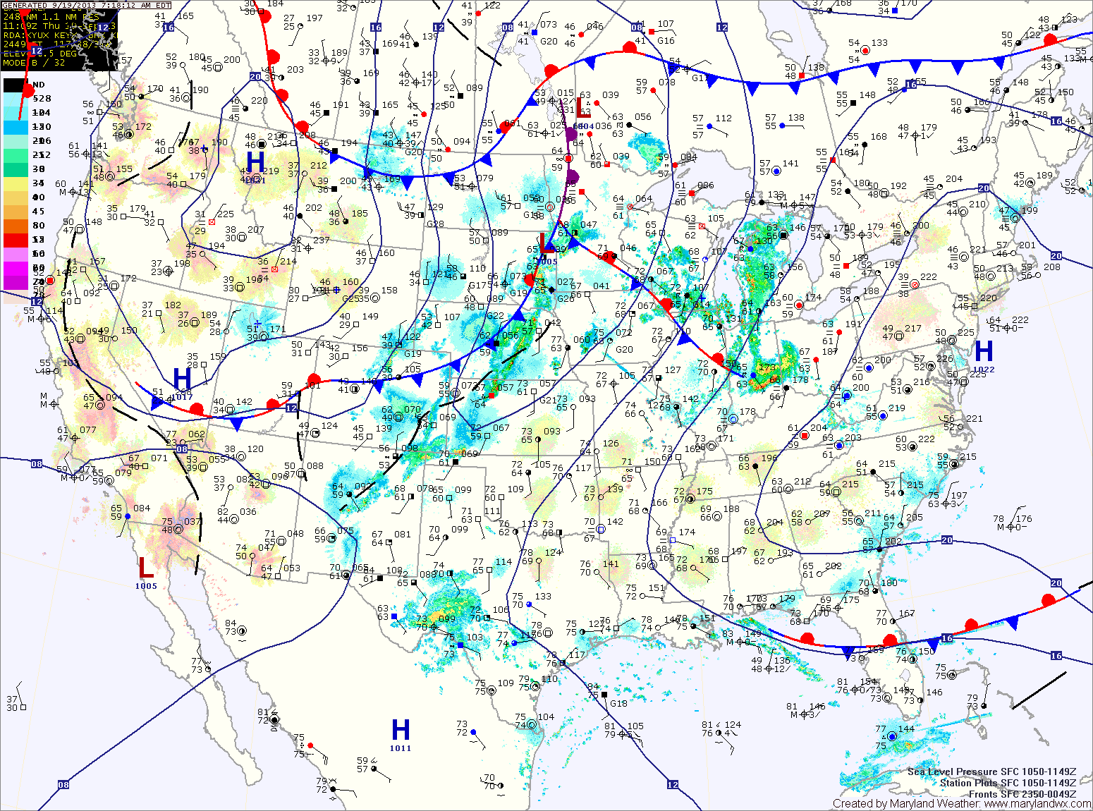
Expect more of the same on Thursday and Friday, mostly sunny skies and highs in the low 80s.

More Clouds than Sun Today; Nice Through Weekend

Current Surface Map
Current Surface Map
Northeasterly flow around a high pressure center to our north has moved moisture into our area resulting in a deck of clouds. The clouds will stick around for most of the day, with highs reaching the low to mid 70s.

Expect more of the same tomorrow, with a bit more sunshine. Highs will be in the mid 70s.

Sunday will be similar, mostly sunny with highs in the mid 70s.

A weak cold front will approach and move through Monday into Monday night. It is expected to be a dry passage, with just an increase in clouds expected Monday afternoon. Highs will continue to be in the mid 70s.

Continued Mostly Sunny Today

Current Surface Map
Current Surface Map
An area of low pressure is moving by to our south, bringing a few clouds to the state. The low will move away this afternoon allowing for mostly sunny skies. Highs will be in the mid 70s.

High pressure will control the weather through the weekend. Tomorrow will feature a mix of clouds and sun with highs again in the mid 70s.

Saturday and Sunday will feature more sunshine and highs in the mid 70s.

A cold front will approach and move through Monday into Monday night. The front will be fairly moisture starved, and as a result, nothing more than an isolated shower is expected. Highs on Monday will be in the mid 70s.

Mostly Sunny Today

Current Surface Map
Current Surface Map
Expect more typical late September weather today, with mostly sunny skies and highs in the low to mid 70s.

High clouds will move in this afternoon as a disturbance approaches from the west. The disturbance will move through tonight into tomorrow morning, providing nothing more than clouds.

The clouds will decrease through the day tomorrow. Highs will be in the mid 70s.

As high pressure takes control again, expect a mix of clouds and sun Friday through Sunday with temperatures remaining in the mid 70s for highs each day.

Quiet Weather Week Continues

Current Surface Map
Current Surface Map
After a very fall-like chilly start, temperatures will warm today into the low to mid 70s under sunny skies.

Tomorrow will be a few degrees warmer and also feature more high clouds as we move into the afternoon. Highs will be in the mid 70s.

A weak disturbance will move by on Wednesday night, bringing nothing more than clouds as it does.

High pressure builds back in on Thursday with decreasing clouds. Highs will be in the mid 70s.

Mostly Sunny Today, Cold Front Brings Rain Tomorrow

Current Surface Map
Current Surface Map
Expect another nice day today with mostly sunny skies and highs around 80 degrees.

A cold front will approach the area tomorrow. Ahead of and along the front, numerous showers and thunderstorms will develop.

Some of the showers and storms could produce locally heavy rainfall and gusty winds. Highs will be in the upper 70s to low 80s under mostly cloudy skies.

Rain chances will continue through tomorrow night into early Sunday morning before the front clears the area.

Sunny Today and Tomorrow; Cold Front Moves Through this Weekend

Current Surface Map
Current Surface Map
With high pressure centered just off the coast, expect another day of sunny skies. Highs today will be in the mid to upper 70s.

Tomorrow will be similar to today, a few degrees warmer and a few more high clouds. Highs will be around 80.

A cold front will approach on Saturday, moving through late Saturday night into Sunday.

Scattered showers and thunderstorms will develop ahead of the front Saturday afternoon and evening. Highs will be in the low 80s.

Mostly Sunny Stretch Continues

Current Surface Map
Current Surface Map
High pressure remains in control of our weather today. Expect mostly sunny skies and highs in the low 70s.

The high begins its move off the coast tomorrow, allowing warmer and more humid air to begin to flow into the region. Highs tomorrow will be in the mid to upper 70s under mostly sunny skies.

Friday will be a few degrees warmer than tomorrow, with highs in the low 80s under mostly sunny skies.

A cold front will approach on Saturday bringing a chance of afternoon showers and thunderstorms. Highs will be in the low 80s.

Sunny and Cool Today

Current Surface Map
Current Surface Map
Following yesterday’s frontal passage, cool Canadian high pressure will continue to build into the region today. Expect sunny skies with a high near 70.

A clear and cool night tonight will be followed by another sunny day tomorrow. Highs will be in the low 70s.

The high pressure center begins to move off the coast by Thursday, turning the flow more southerly. This will cause temperatures to warm into the upper 70s under mostly sunny skies.

The southerly flow will continue to draw warmer air into the region on Friday. Expect highs to reach the low 80s under mostly sunny skies.