
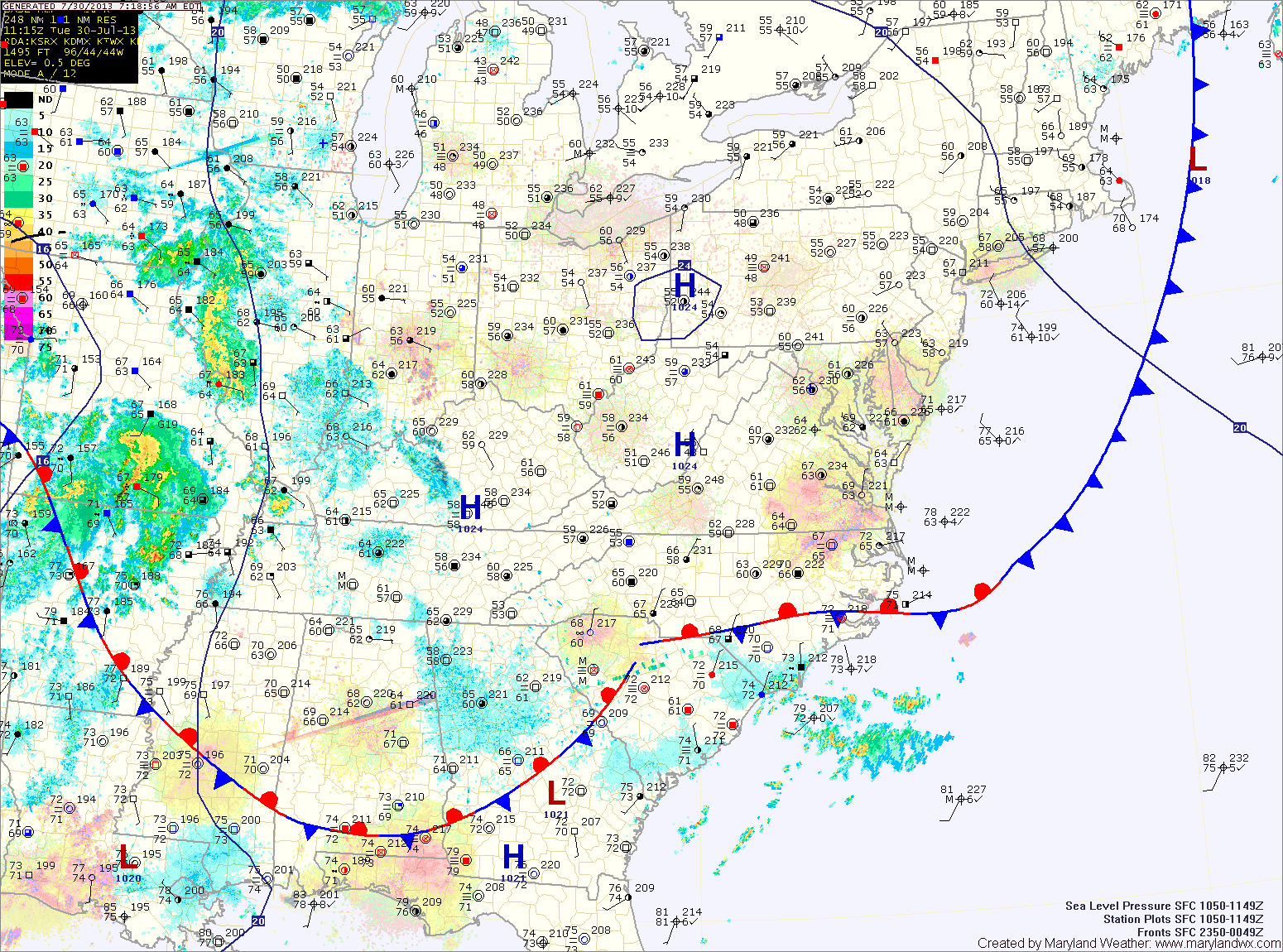
The high is pushed off the coast tomorrow and southerly flow will allow the humidity to increase. Afternoon and evening showers and thunderstorms are possible. Highs will be in the mid 80s.
A cold front will approach Thursday and move through Thursday night. The front will trigger more showers and thunderstorms Thursday afternoon and evening. Some of the storms could produce gusty winds and locally heavy rainfall. Highs will be in the low to mid 80s.
High pressure builds in on Friday, leading to decreasing clouds and highs in the mid 80s.
The high will provide another nice day on Saturday before it is pushed off the coast as another cold front moves in Saturday night. Highs on Saturday will be in the mid 80s.
There is a slight chance of showers and thunderstorms on Sunday with the frontal passage. Highs will be in the mid 80s.
High pressure builds back in for the first part of next week.
Yesterday’s Weather Station Stats:
High Temp: 83.8°
Low Temp: 63.4°
Rain: 0.00″