
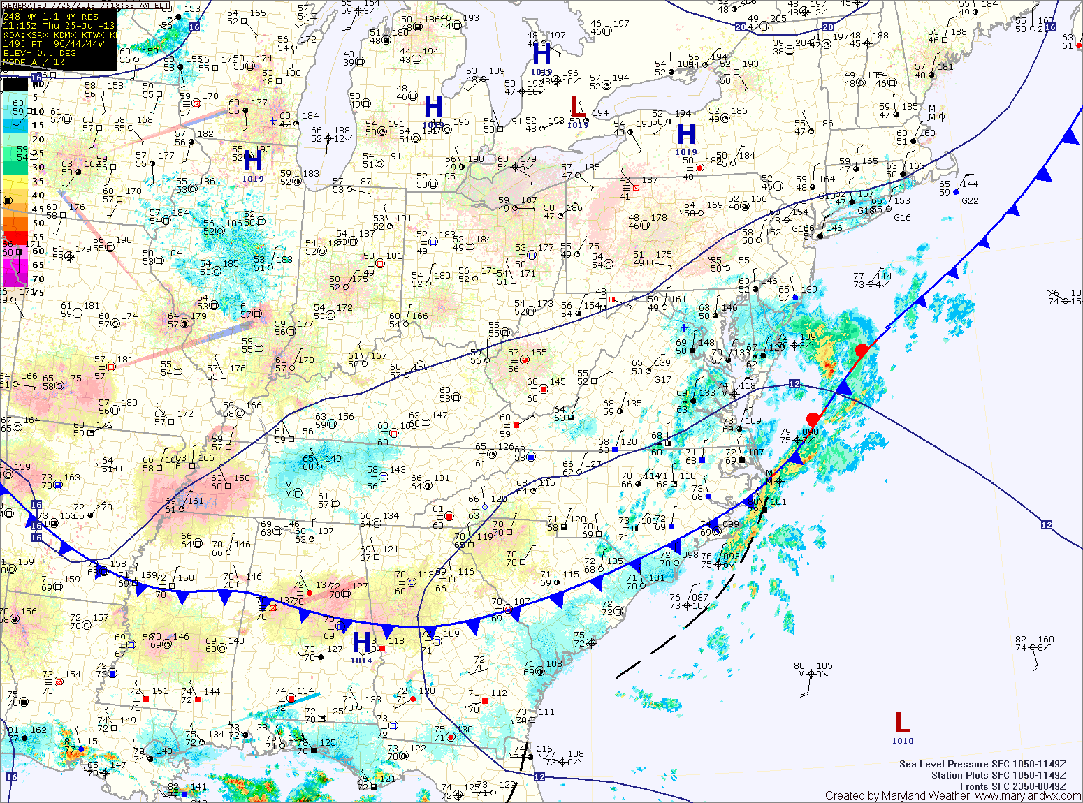
An area of low pressure moving along the front will keep clouds over the area and bring showers to the lower eastern shore today into tomorrow.
Clouds will decrease during the day tomorrow as the coastal low moves away from the area. Highs will push back into the mid 80s.
Another cold front will move towards the area on Saturday and southerly flow will develop ahead of it. This will bring a return to warmer and more humid conditions. Scattered afternoon showers and thunderstorms will be possible. Highs will be in the mid to upper 80s.
The front moves into the area Sunday, increasing the thunderstorm threat into the afternoon. Highs will top out in the upper 80s before the front moves through during the late afternoon.
Behind the front, another cooler and drier airmass will move in for the first part of the week.
Yesterday’s Weather Station Stats:
High Temp: 85.1°
Low Temp: 69.2°
Rain: 0.00″