
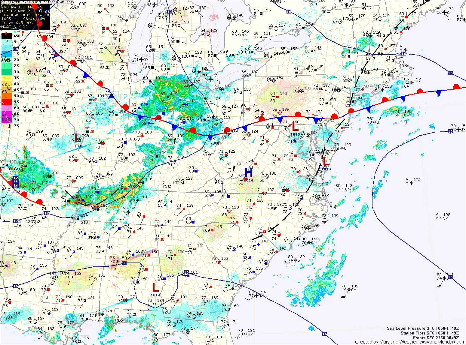
Several areas of low pressure will push through the region along the front bringing unsettled weather for much of the week.
Today will be mostly cloudy with highs in the mid 80s. Scattered showers and thunderstorms are likely this afternoon and evening. These storms could produce locally heavy rainfall.
Thunderstorm chances decrease slightly tomorrow, but isolated to scattered storms will still be possible. Highs will be in the mid to upper 80s.
Wednesday will be mostly sunny, with isolated thunderstorms possible again in the afternoon. Highs will be in the mid to upper 80s.
The pattern will continue to hold as we move towards the end of the work week. Isolated showers and storms are possible Thursday into Friday morning with highs in the mid 80s.
A brief dry stretch is possible Friday afternoon through Saturday before rain chances increase again on Sunday.
***New Feature on the site***
I have added a Message Box to the front page of the site. Feel free to post a comment or question and I will respond. I will also use it to send quick short updates on the weather.
Yesterday’s Weather Station Stats:
High Temp: 92.6°
Low Temp: 71.2°
Rain: 1.22″