
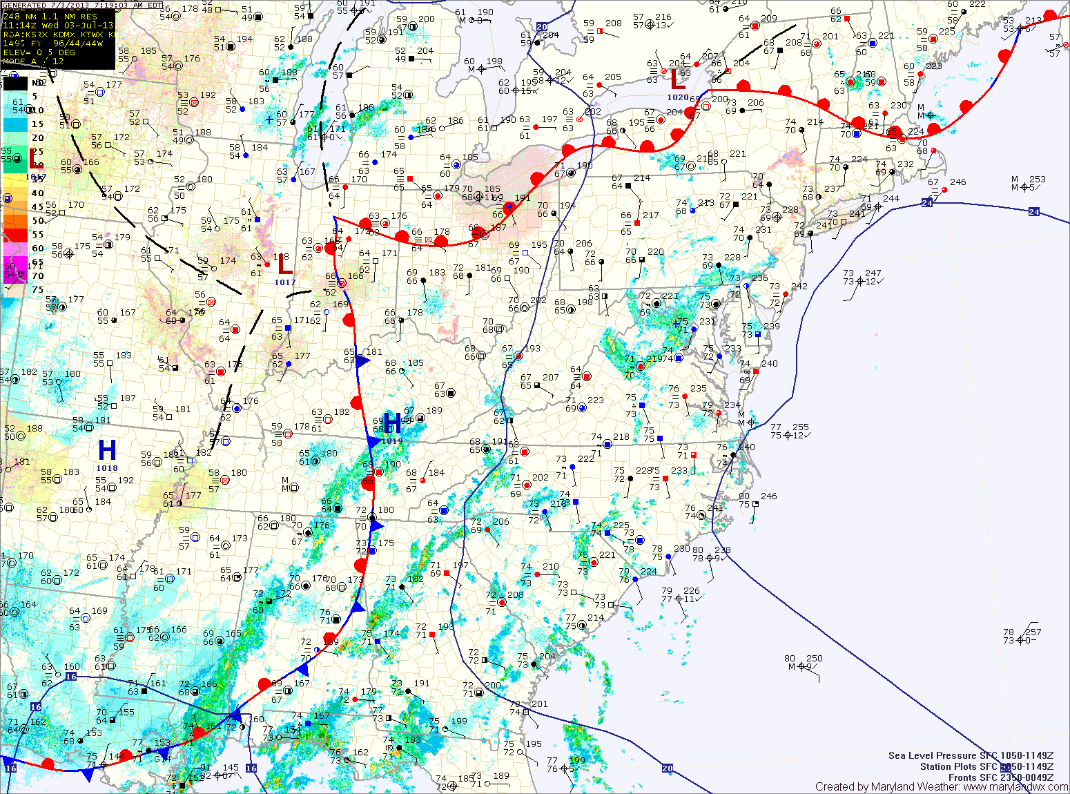
Today will be similar to the past few, with scattered showers and thunderstorms capable of producing locally heavy rainfall. Highs will be in the low to mid 80s.
The high pressure center will begin to move westward tonight. This will push the widespread shower and storm activity to our west tomorrow.
Expect a more typical summer day for the Fourth of July holiday. Highs will be around 90 degrees with a slight chance of a pop up afternoon thunderstorm.
The high will continue to control our weather through the weekend, providing mostly sunny skies with hot and humid air. As is typical for a mid-atlantic summer, an isolated thunderstorm will be possible each day, but most areas will remain sunny and dry. Highs Friday through Sunday will be in the low 90s.
The heat and humidity looks to remain in the area as we move into next week. Highs Monday and Tuesday will be in the low to mid 90s with a slight chance of thunderstorms.
As we move towards midweek, the high pressure center will begin to lose its grip on the area, allowing a better chance of storms to move back into the area.
Yesterday’s Weather Station Stats:
High Temp: 83.4°
Low Temp: 72.2°
Rain: 0.00″