
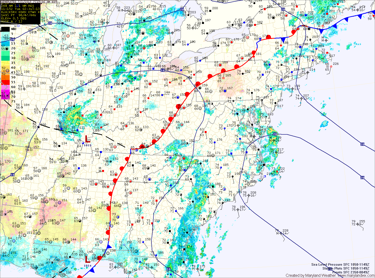
Scattered showers are moving through the area at this time and this will continue into the afternoon. Additionally, with the afternoon heating, thunderstorms will also be possible.
Any shower or storm will be capable of producing locally heavy rainfall and flash flooding. A Flash Flood Watch is in effect for all of central Maryland. Highs today will be low 80s.
High pressure will begin to move westward towards the coast tomorrow. The best chance of rainfall will shift to the mountains, but scattered afternoon showers and thunderstorms will still be possible across central and eastern Maryland. Highs will be in the mid 80s.
Temperatures will climb as we head into the end of the week and into the weekend. Highs on Thursday will be in the upper 80s with isolated afternoon thunderstorms possible.
Isolated afternoon thunderstorms will be possible through the weekend, as highs push into the low 90s Friday through Sunday.
Yesterday’s Weather Station Stats:
High Temp: 82.7°
Low Temp: 72.4°
Rain: 0.01″