
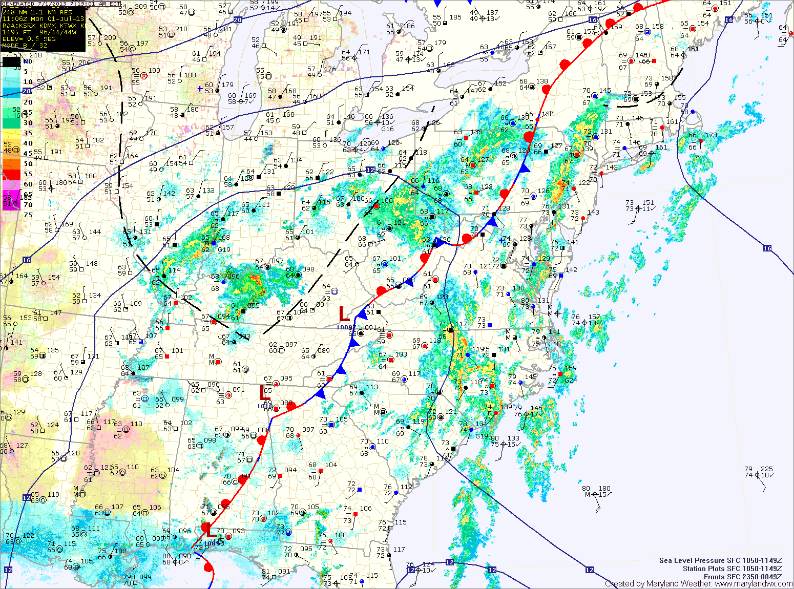
Batches of showers and thunderstorms will continue to move through the area today, bringing locally heavy rainfall. A Flash Flood Watch is in effect for the entire state, except for the mountains. Highs will be in the low to mid 80s.
Scattered showers will continue through tonight. Another round of showers and thunderstorms are likely tomorrow and tomorrow night. Highs will be in the low to mid 80s.
The high off the coast will actually push westward as we head into the latter part of the week. This will lessen the storm chances Wednesday and into the weekend.
There will still be a chance for an afternoon shower or thunderstorm each day, but the activity will be more isolated, and more typical for summer in Maryland. High temperatures will also warm a bit, starting in the mid 80s on Wednesday and warming to the low 90s by the weekend.
Yesterday’s Weather Station Stats:
High Temp: 84.8°
Low Temp: 72.3°
Rain: 0.07″