
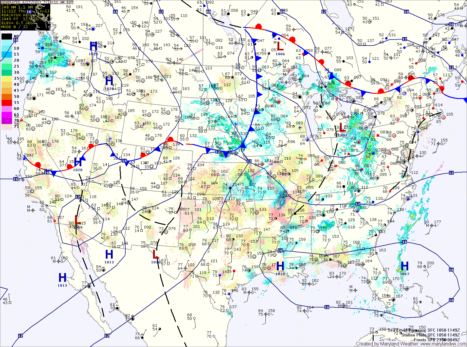
Additionally, it will cause an increase in instability as we move into the afternoon. Thunderstorms are likely throughout the state this afternoon and evening. Some of the storms may become severe with damaging winds as the primary threat. Highs will top out around 90 degrees.
The front will move into the state tomorrow and then stall out. This will keep thunderstorm chances in the forecast through the weekend and into next week. Highs tomorrow will be in the upper 80s.
Saturday will be partly sunny with highs in the upper 80s. Scattered thunderstorms will likely develop during the afternoon and last through the evening.
As the front remains in the area, this same basic pattern will persist into the middle of next week providing thunderstorm chances through Tuesday.
Yesterday’s Weather Station Stats:
High Temp: 91.7°
Low Temp: 67.0°
Rain: 0.05″