
Meanwhile, today will be partly sunny, warm and humid with an isolated shower or thunderstorm possible this afternoon. Highs will be in the upper 80s to around 90.
Thunderstorm activity will actually increase tonight as a piece of energy moves through the area. Some of these storms may become severe with damaging winds and heavy rainfall.
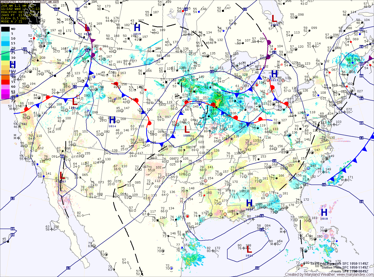
A thunderstorm complex over the midwest will move eastward tomorrow morning, bringing a chance of morning rain or thunderstorms to the area. Regardless of that system, as the low and cold front approach, all signs point to strong to severe thunderstorms developing over the area by afternoon. A wide-spread severe weather event is looking likely tomorrow afternoon, with damaging winds, large hail, heavy rainfall and isolated tornadoes possible across the entire state but especially along central and eastern Maryland. Highs will be in the upper 80s.
The cold front will sweep across the area tomorrow evening and as it does, it will end the storm threat. Winds will increase as the front moves through, gusting to over 30mph Thursday night into Friday morning.
Friday will feature mostly sunny skies with an isolated afternoon shower possible but not likely. Winds will decrease a bit, but will still gust to near 20mph at times. Highs will be around 80.
A nice weekend is on tap with highs on Saturday and Sunday in the low to mid 80s under mostly sunny skies.
Another system will likely bring showers and thunderstorms on Monday.
Yesterday’s Weather Station Stats:
High Temp: 83.4°
Low Temp: 66.8°
Rain: 0.00″