
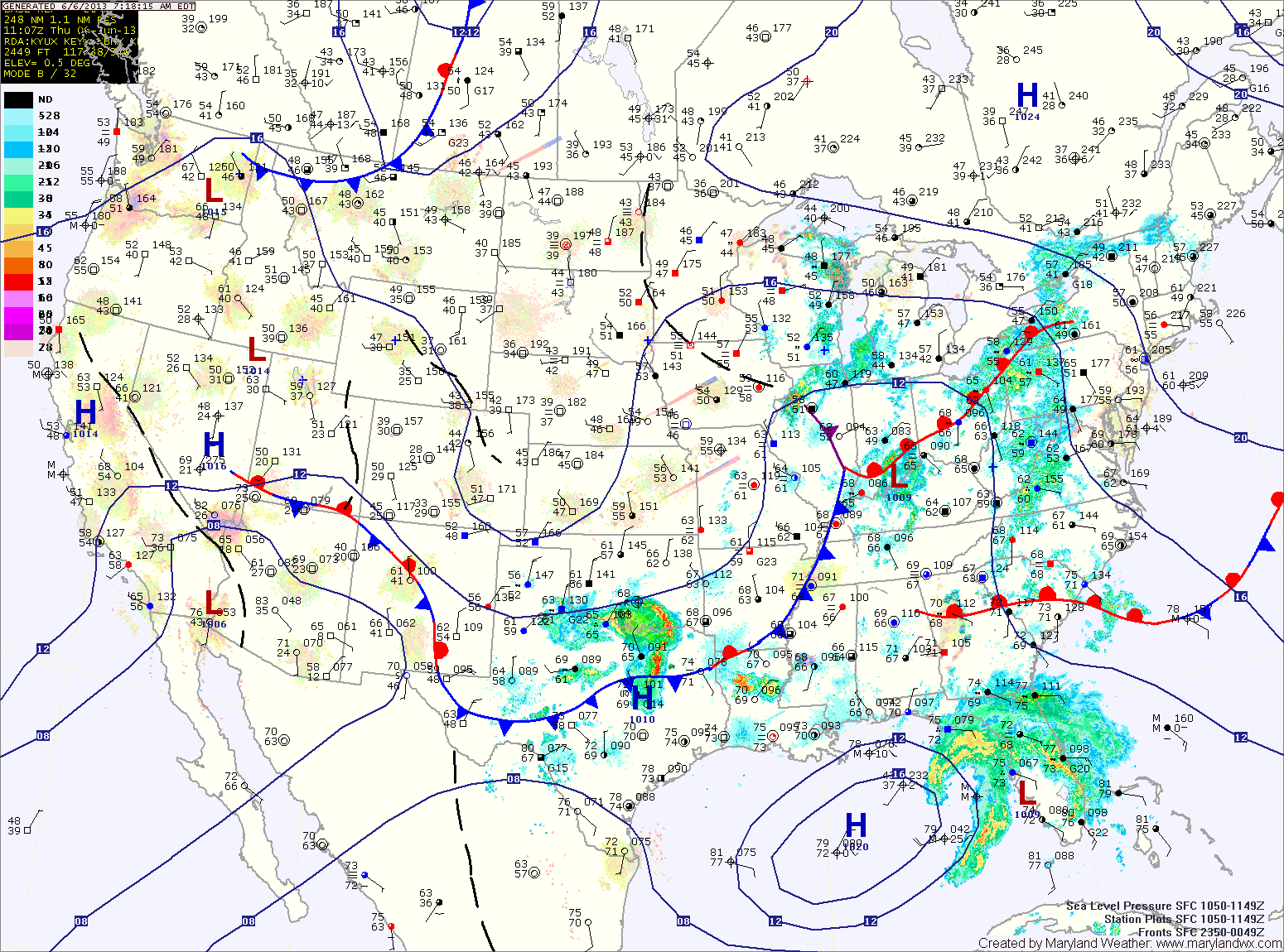
Expect showers to move in from the west this afternoon as the cold front approaches. Highs today will be in the mid 70s.
As Andrea moves up the coast and interacts with the front, rainfall will become heavier tonight and tomorrow. Locally heavy rainfall will continue tomorrow and into tomorrow night. Rainfall totals of over 2″ will be likely in many areas. Highs tomorrow will be in the mid 70s.
Andrea will quickly pull away Friday night, leaving a warm and humid airmass in its place. Scattered showers and thunderstorms will be possible through Saturday afternoon. Highs will be in the low 80s.
Sunday will still be warm and humid, but shower and thunderstorm chances will be reduced. Highs will be in the mid 80s.
A cold front will approach from the west on Monday, giving a better chance of showers and thunderstorms Monday afternoon, followed by cooler and drier conditions Tuesday and Wednesday.
Yesterday’s Weather Station Stats:
High Temp: 80.0°
Low Temp: 52.3°
Rain: 0.00″