
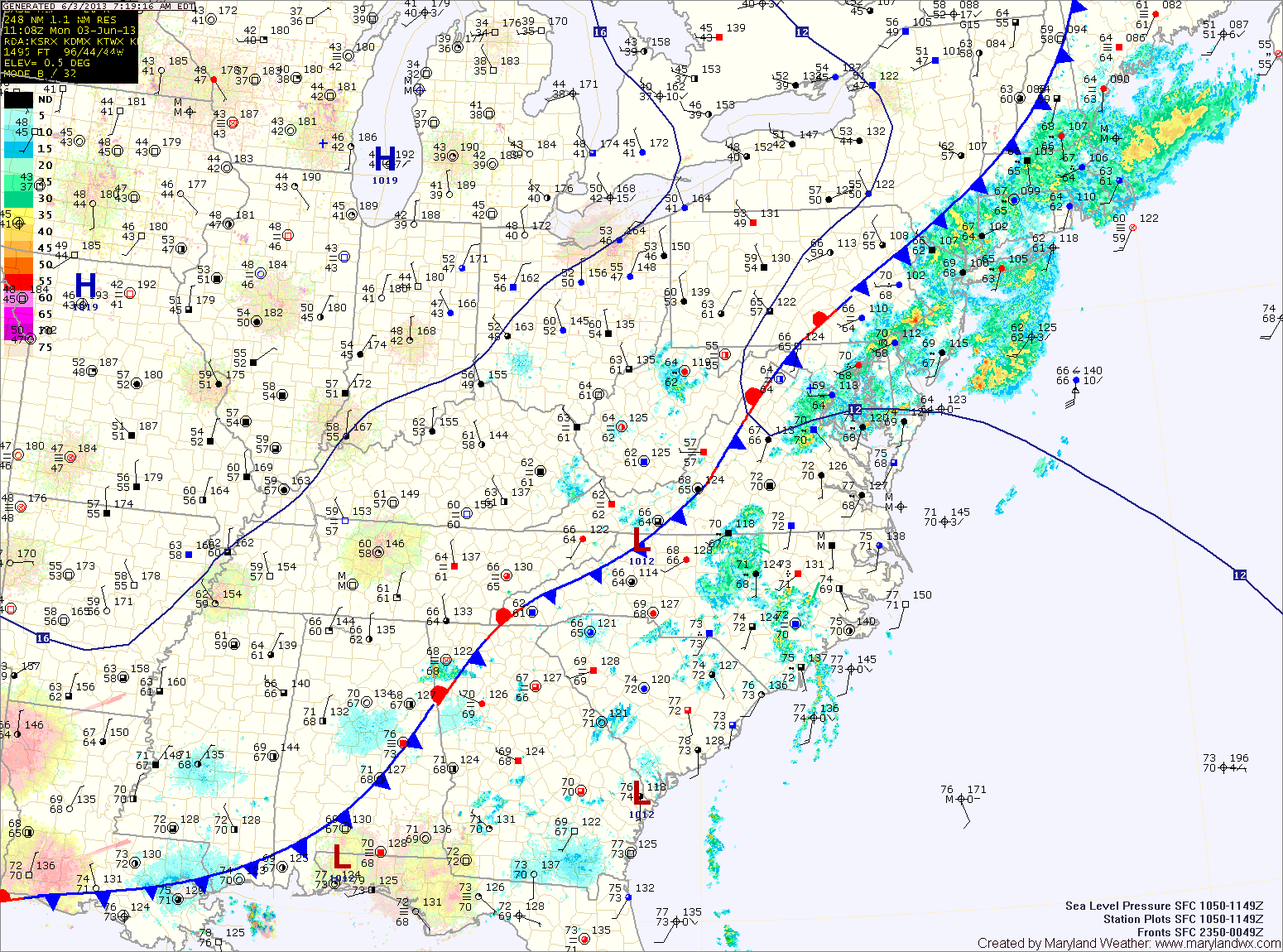
The front will clear the state today, bringing an end to the rain threat and ushering in drier air. Highs today will top out in the upper 70s to around 80.
High pressure moves in tomorrow, setting up a pleasant and dry stretch for the next few days. Highs tomorrow will be in the mid 70s under sunny skies.
Wednesday will be mostly sunny, with highs in the mid to upper 70s.
Clouds will increase Thursday, but it will remain dry. Highs will be in the upper 70s to around 80.
Low pressure will bring another round of showers and thunderstorms to the area on Friday. The rain chances will likely continue into Saturday as well. Highs both days will be around 80 degrees.
The low will move away Saturday night, setting up a mostly sunny Sunday.
Yesterday’s Weather Station Stats:
High Temp: 86.0°
Low Temp: 68.4°
Rain: 0.68″