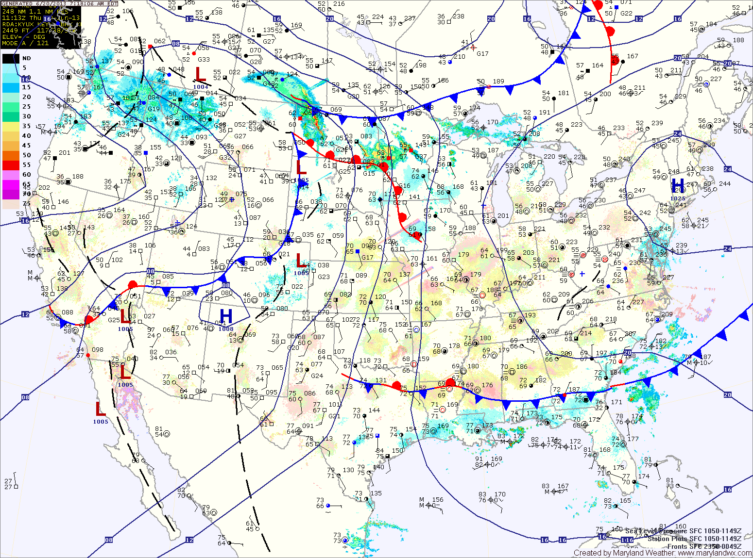
Continued Thunderstorm Threat

Current Surface Map
Current Surface Map
With a Bermuda High blocking things up, a stationary boundary will persist in the area through the weekend and into next week. This will keep thunderstorms in the forecast each day.

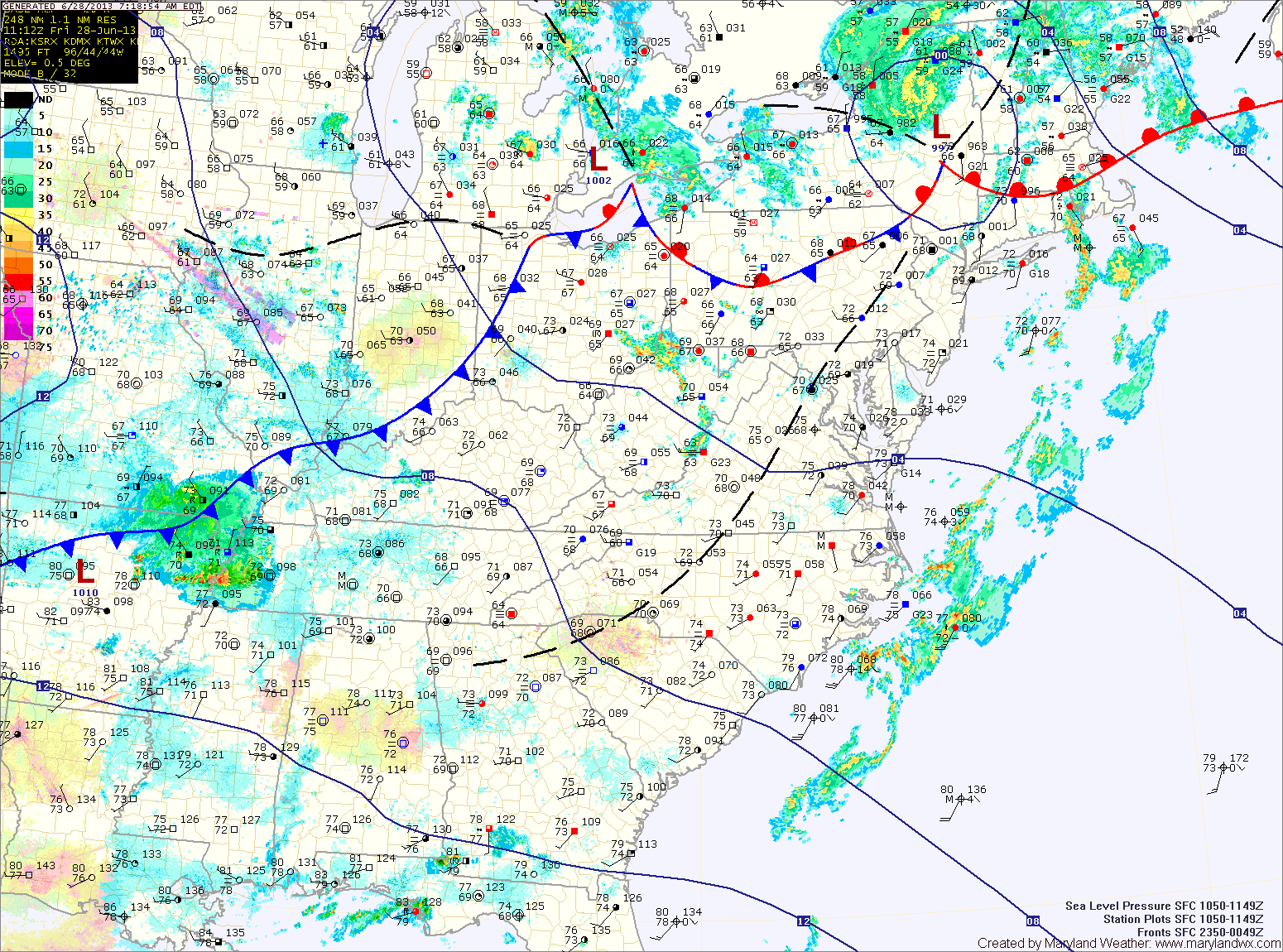
Today will become partly sunny with highs in the mid to upper 80s. Thunderstorms will develop this afternoon and persist into the evening.

Much of the same for tomorrow. Partly sunny skies, highs in the mid to upper 80s with afternoon and evening storms likely.

Storm coverage will decrease a bit on Sunday, but the threat still persists. Highs will be in the low to mid 80s.

Thunderstorms Likely Today

Current Surface Map
Current Surface Map
High pressure will remain off the coast as a cold front approaches from the west. This front will increase southerly flow ahead of it resulting in a breezy day today.

Additionally, it will cause an increase in instability as we move into the afternoon. Thunderstorms are likely throughout the state this afternoon and evening. Some of the storms may become severe with damaging winds as the primary threat. Highs will top out around 90 degrees.

The front will move into the state tomorrow and then stall out. This will keep thunderstorm chances in the forecast through the weekend and into next week. Highs tomorrow will be in the upper 80s.

Another Hot, Humid Day with Afternoon Storms

Current Surface Map
Current Surface Map
Just like yesterday, today will be hot and humid. The heat will support another round of afternoon thunderstorms with possibly damaging winds, as highs push into the low to mid 90s.

The storm threat will last into the evening before waning over night.

Another steamy day on tap tomorrow, but winds will increase as a cold front approaches from the west. More storms are expected in the area, capable of producing damaging winds and large hail. Highs will be around 90.

Continued Hot and Humid; Afternoon Storms

Current Surface Map
Current Surface Map
High pressure off the southeast coast will continue to pump hot and humid air into the region. More showers and thunderstorms will be possible this afternoon as highs push into the low to mid 90s.

More of the same tomorrow, with highs in the mid 90s and afternoon showers and storms possible. Some of the storms could turn severe with damaging winds and large hail possible.

A weak cold front will approach the region on Thursday, increasing thunderstorm activity and the likelihood of severe weather. Highs on Thursday will be around 90 degrees.

Hot, Humid, Isolated Thunderstorms

Current Surface Map
Current Surface Map
Summer is here, and this week will certainly feel like it. Highs all week will be in the 90s and combined with high dew points, the sticky air will support isolated to scattered thunderstorms most days.

Today will be mostly sunny, with a high around 90. Isolated thunderstorms will develop this afternoon and evening.

Tomorrow and Wednesday will be similar to today but will be a few degrees warmer. Highs will top out in the low to mid 90s with a heat index around 100 both days. Isolated to scattered afternoon storms will also be possible.

Mostly Sunny and Warmer

High pressure off the New England coast will keep our skies mostly sunny through the weekend while making the first weekend of summer feel very summer-like. Highs today will be…

Pleasant Weather Today and Tomorrow; Hotter this Weekend

Current Surface Map
Current Surface Map
With high pressure firmly in control, today will be mostly sunny with highs around 80. Tomorrow will be nearly a carbon-copy of today, with highs in the low 80s.

The high will move off the coast this weekend and southerly flow will develop. The result will be warmer temperatures and higher humidity Saturday and Sunday.

Highs on Saturday will be in the mid 80s and will push to near 90 on Sunday. There is also a slight chance of a pop up shower or thunderstorm on Sunday afternoon.

Nice Today, Followed by a Warming Trend

Current Surface Map
Current Surface Map
A cold front has pushed south of the area and cooler and drier air is moving into the region. This will bring mostly sunny skies and pleasant conditions for the end of spring, while a warming trend will start as we move into summer.

Today will become mostly sunny with highs around 80 degrees.

As the high continues to build, tomorrow and Friday will continue to be mostly sunny with highs in the low 80s.

Saturday is the first full day of summer and the heat will begin to build making it feel like summer. High pressure will move off the coast and southerly flow will bring in warmer and more humid air. Highs on Saturday will be in the mid to upper 80s.

Cloudy with Widespread Showers Today

Current Surface Map
Current Surface Map
Cloud cover will persist today as an area of low pressure moves by to our south. The clouds will keep temperatures down a bit, with highs only in the low 80s.

Additionally, showers will continue to build into the area by late morning and will persist through the day. A few embedded thunderstorms will also be possible this afternoon.

The rain will taper off tonight into tomorrow morning as the low departs the area. Highs tomorrow will be around 80 degrees under clearing skies.

Unsettled Start to the Week

Current Surface Map
Current Surface Map
Heat and humidity will continue to build into the area today. As it does so, a series of fronts in the region will kick off scattered showers and thunderstorms this afternoon. Highs today will be in the mid to upper 80s.

Tomorrow will be similar to today, with another round of afternoon showers and thunderstorms. It will be a little bit warmer than today, with highs around 90 degrees.

An area of low pressure will move by Tuesday night into Wednesday, keeping a chance of rain in the forecast into Wednesday morning. After that system moves by, high pressure and cooler air will move into to region for the remainder of the week. Highs on Wednesday will be in the low 80s.