
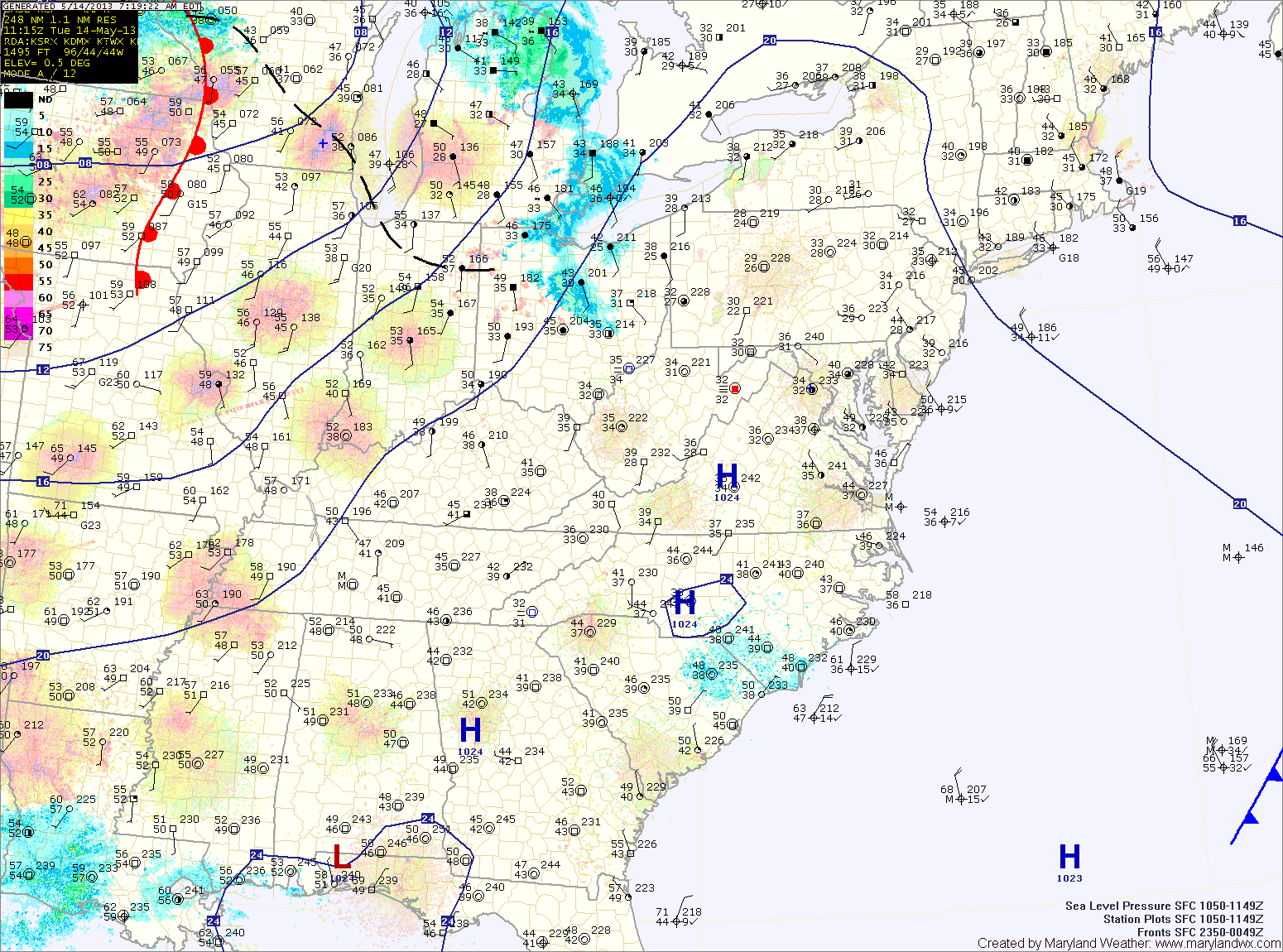
A warm front will push through the area tonight and will stall out. This front will be the focus for an unsettled stretch of weather, featuring showers and thunderstorms.
Tomorrow will see a a slight chance of showers and thunderstorms. Highs will be in the mid 70s under partly sunny skies.
There is a slightly better chance of showers and storms on Thursday, with scattered showers and storms possible again Friday. Highs both days will be around 80 degrees.
Several pieces of energy will renforce the rain threat late Friday or Saturday and then again on Sunday. Highs both days will be in the upper 70s to near 80.
Unsettled weather is expected to continue into the new work week.
Yesterday’s Weather Station Stats:
High Temp: 60.1°
Low Temp: 38.6°
Rain: 0.00″