
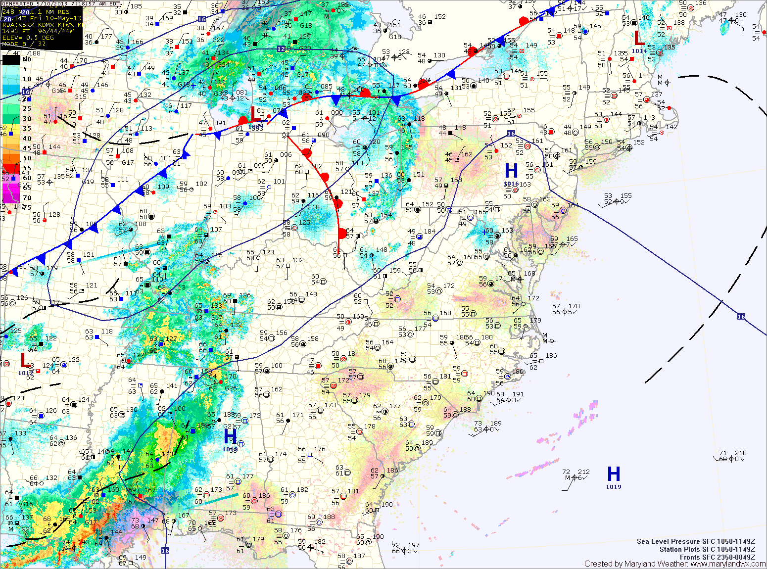
The combination of the two will kick off scattered showers and thunderstorms this afternoon and evening. Some of the storms may become severe with damaging winds, heavy rainfall and large hail, especially across western Maryland. Highs today will be in the low to mid 80s.
Thunderstorm activity will diminish tonight with the loss of daylight, but showers will remain possible through the overnight.
The front will not cross the state until tomorrow evening into tomorrow night. This means another round of strong to severe storms are likely during the afternoon and evening hours. This time, the greatest threat of severe weather will be east of the mountains, along and east of the I-95 corridor. Highs tomorrow will be in the mid to upper 70s.
Showers may linger into Saturday night, but the cold front will usher in cooler and drier air. This will lead to a nice day on Sunday. Expect mostly sunny skies with highs in the mid to upper 60s.
Dry weather will persist into next week, with generally mostly sunny skies and highs in the mid to upper 60s, warming into the 70s by mid week.
Yesterday’s Weather Station Stats:
High Temp: 75.8°
Low Temp: 52.1°
Rain: 0.00″