
The front will clear the state during the afternoon, allowing southerly flow to develop and clear out the showers. Highs this afternoon will top out around 70 degrees under partly sunny skies.
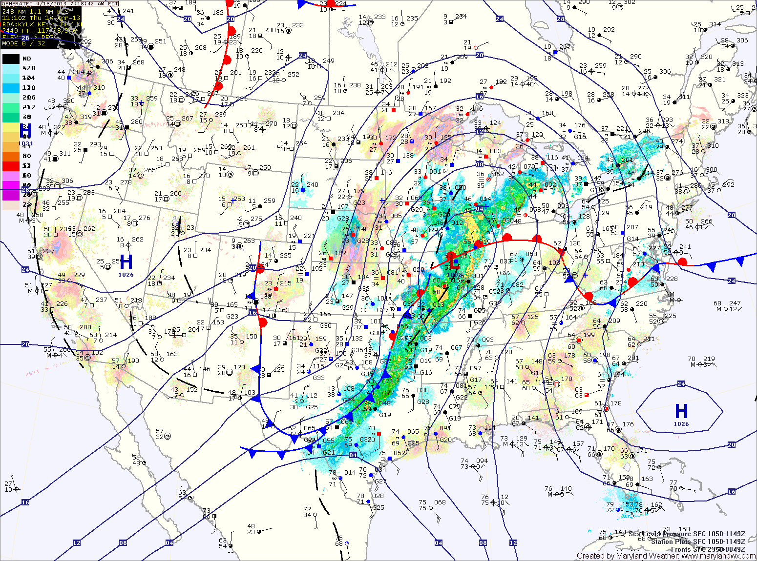
A cold front currently across the midwest will move towards the area tomorrow. The front will cross the state tomorrow evening, but before it does, it will spread numerous showers and thunderstorms through. Some of the storms may produce gusty winds and locally heavy rainfall. High temperatures tomorrow will be in the mid to upper 70s.
The rain will taper off late tomorrow evening and into tomorrow night as the front pushes off the coast and high pressure begins to move in.
A cooler and drier weekend is on tap, with highs on Saturday and Sunday in the upper 50s to low 60s.
On shore flow looks to develop again early next week, bringing another round of damp and cool conditions.
Yesterday’s Weather Station Stats:
High Temp: 76.4°
Low Temp: 58.1°
Rain: 0.00″