
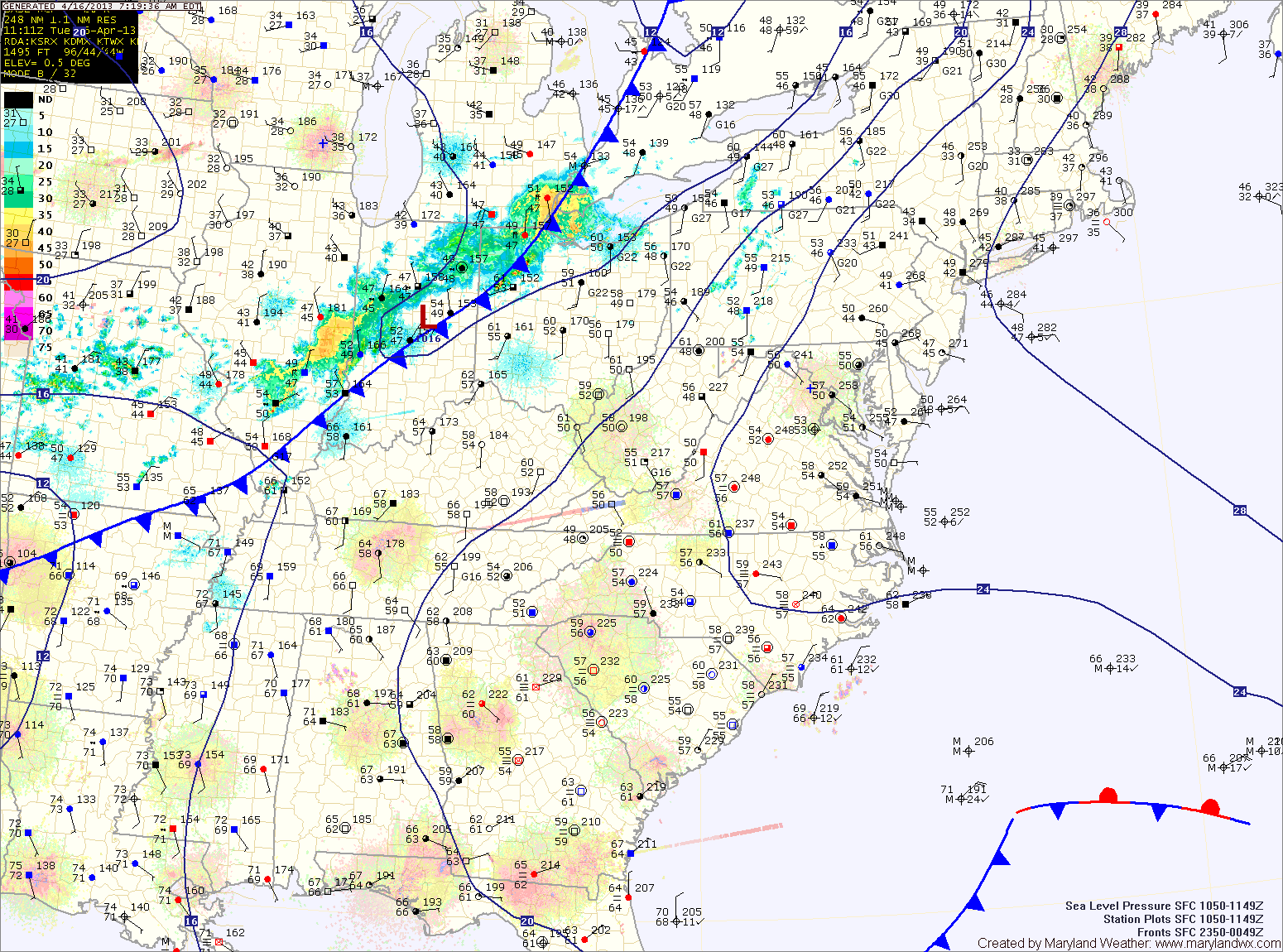
A weak cold front will sag south into the area tonight and persist through tomorrow. North of the front it will be in the mid 60s with moist, easterly flow, while south of the front, temperatures will push into the 70s. Areas near the front will also experience scattered showers and thunderstorms.
As of right now, it appears the front will slice across central Maryland, allowing southern Maryland to warm, while northern parts stay cooler. There is a slight chance of drizzle or light rain Wednesday night across the entire state as easterly flow persists.
The front will wash out on Thursday as southerly flow strengthens ahead of the next cold front. Thursday should feature partial clearing and warmer temperatures, with highs pushing into the mid 70s.
A strong cold front will push through on Friday. Showers and thunderstorms are likely, especially during the afternoon and evening. Some of the storms could produce locally heavy rainfall and gusty winds. Highs on Friday will be in the mid 70s.
Cooler and drier air will follow the front. Saturday and Sunday will see highs around 60 degrees.
Yesterday’s Weather Station Stats:
High Temp: 62.2°
Low Temp: 51.9°
Rain: 0.02″