
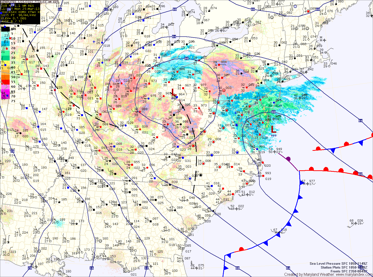
The mountains of western Maryland will likely remain all snow, while areas further east will likely mix with rain this afternoon.
Updated Snowfall Forecast by county:
8-12″ – Garrett
4-8″ – Allegany
2-4″ – Baltimore, Baltimore City, Carroll, Cecil, Frederick, Harford, western Howard, western Montgomery, Washington
1-3″ – Anne Arundel, eastern Howard, Kent, eastern Montgomery, Queen Annes
1-2″ – Calvert, Caroline, Charles, St. Marys, Talbot
1″ or less – Lower Eastern Shore
The storm will move away from the area this afternoon and the precipitation will decrease in intensity and taper off later this afternoon.
Skies will partially clear overnight as northwest flow kicks in behind the system. A disturbance will move through tomorrow, possibly triggering a shower or snow shower during the afternoon. Highs tomorrow will be in the low 40s.
We remain mostly dry under northwest flow through the end of the week with temperatures slowly moderating. Wednesday will be breezy with highs in the upper 40s, Thursday will be back into the low 50s with mid 50s expected Friday and Saturday.
Yesterday’s Weather Station Stats:
High Temp: 43.1°
Low Temp: 26.7°
Rain: 0.00″