
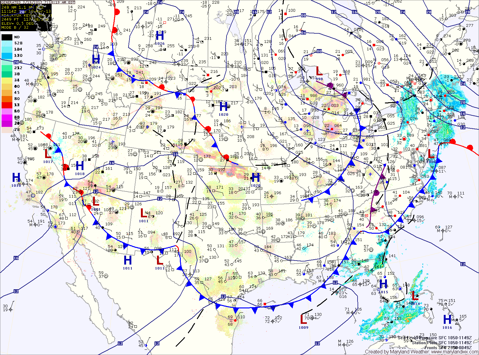
Spring begins at 7:02am tomorrow. Clouds will increase again through the day as a weak area of low pressure approaches. It will be windy and cool, with a high around 50.
Weak low pressure scoots by to our south tomorrow night into Thursday morning, bringing a slight chance of showers or flurries. Highs Thursday will only be in the low to mid 40s under clearing skies.
The weather pattern quiets a bit as we head towards the end of the week and into the weekend. Highs Friday through Sunday will be in the mid to upper 40s under mostly sunny skies.
Another system looks to affect the area late Sunday into the new work week.
Yesterday’s Weather Station Stats:
High Temp: 39.2°
Low Temp: 35.4°
Rain: 0.38″