
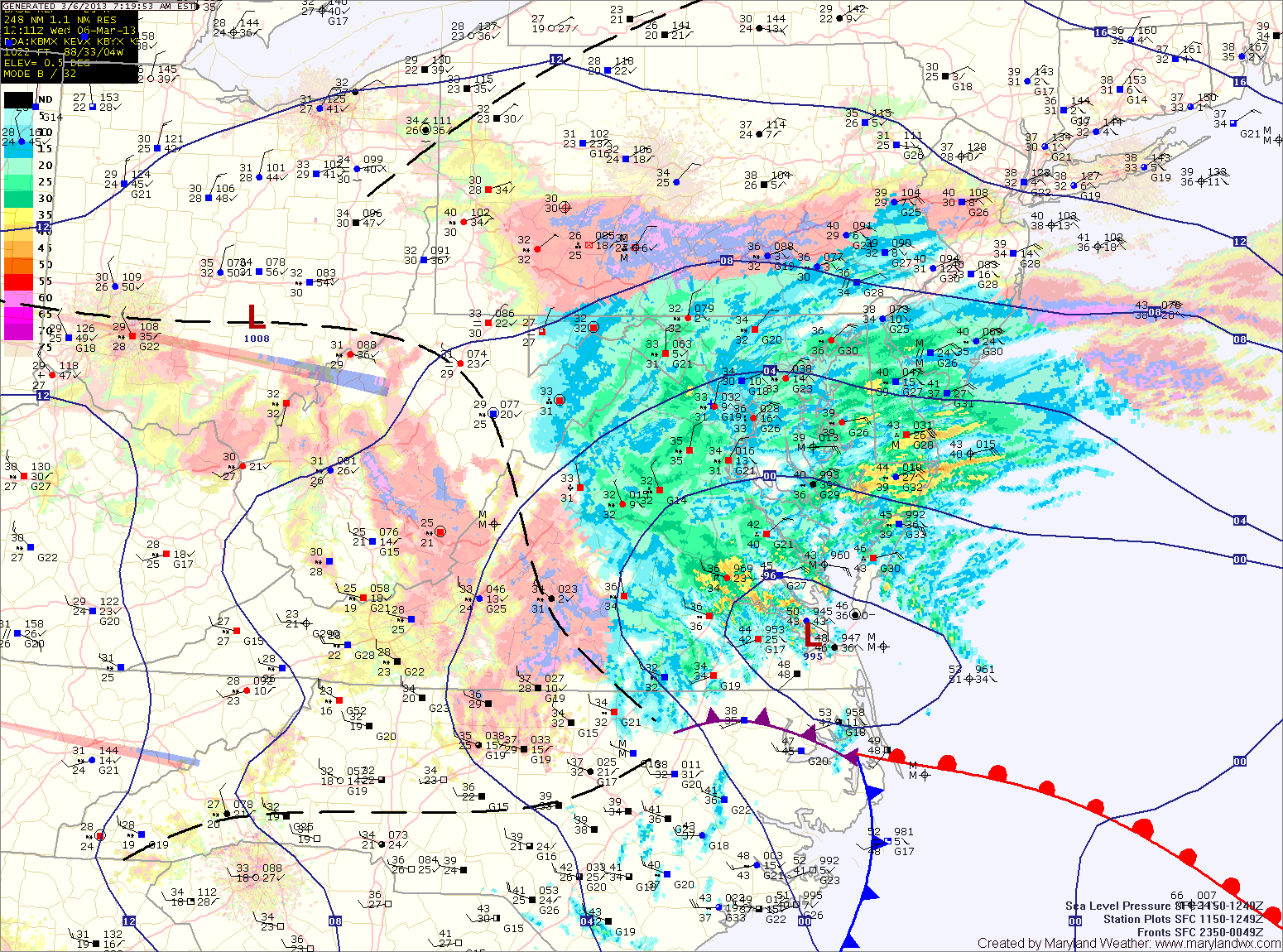
Projected Snow Totals by County:
12+”: Garrett
8-12″: Allegany, Washington
6-10″: Frederick, Carroll, Montgomery, Howard, N. Baltimore
4-8″: Anne Arundel, S. Baltimore, Baltimore City, Cecil, Harford, Kent, Prince Georges (the higher amounts further from the Bay)
2-4″: Calvert, Charles, Queen Annes, Talbot
1-3″: Caroline, Dorchester, St. Marys, Wicomico
Trace-1″: Somerset, Worcester
Currently, the area of low pressure is situated near the Tidewater of Virginia. As the low moves slowly eastward today, it will strengthen and winds in our area will shift from easterly to more northerly and colder air will be drawn in. As this happens, the rain and rain/snow mix will turn over to snow and become heavy at times as we move through the afternoon and into tonight.
Winds will increase through the day, gusting to near 40mph at times. This, combined with the heavy wet snow will lead to scattered power outages across the area.
The snow will wind down after midnight tonight.
Tomorrow will feature decreasing clouds with highs in the upper 30s.
Expect a dry end to the week, with highs in the mid 40s on Friday, warming into the 50s Saturday and Sunday.
Another storm system may bring rain to the area on Monday.
Yesterday’s Weather Station Stats:
High Temp: 49.3°
Low Temp: 23.7°
Rain: 0.00″