Mix of Sun and Clouds Today; Afternoon Shower Possible

Current Surface Map
Current Surface Map
Today will be much like the past few, with a mix of clouds and sun and a chance of an afternoon shower. Although, the cloudiness, shower chances and winds will be less than in previous days. Highs will top out in the mid to upper 50s.

High pressure builds in tomorrow, providing abundant sunshine and calmer winds. Highs will be in the upper 50s.

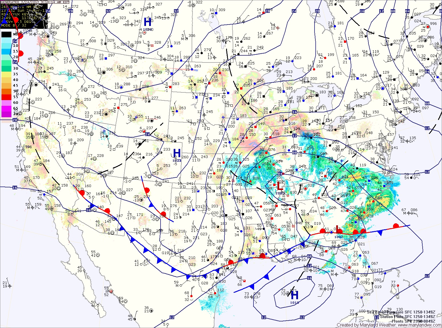
Clouds will increase tomorrow night and Sunday morning as a cold front approaches from the west. The front will spread showers over the state from west to east during the late morning into the afternoon and evening. Highs will be in the upper 50s.

Partly Sunny, Continued Windy

Current Surface Map
Current Surface Map
As we remain under the influence of high pressure to our west and low pressure to our east, another day of partial sunshine, a chance of a sprinkle and gusty winds is on tap. Highs today will be in the low 50s.

A slight improvement tomorrow, with more sunshine and decreasing winds. Highs will be in the mid 50s.

Saturday will feature even more sunshine and warmer temps. Expect highs near 60.

Sunday will start off dry, with increasing clouds as a cold front approaches from the west.

Partly Sunny and Windy Today

Current Surface Map
Current Surface Map
High pressure moving in from the west combined with low pressure to the northeast will cause strong gusty winds today and tomorrow. Additionally, like yesterday, scattered showers or flurries are possible this afternoon. Highs today will be in the upper 40s to low 50s.

Tomorrow will be nearly a carbon copy of today. Partly sunny, windy, with highs around 50.

Temperatures will begin to climb on Friday and into the weekend. Friday will be mostly sunny with highs in the mid 50s.

Saturday will be the nicer day of the weekend. Expect sunny skies with highs in the mid to upper 50s.

Scattered Showers This Afternoon

Current Surface Map
Current Surface Map
Yesterday’s storm continues to move away from the area, leaving northwest flow in it’s wake. A total of 3.2 inches of snow fell at BWI yesterday, making it the snowiest day since January 2011! Totals around 5 inches were common along and west of I-95.

Pop-up rain and snow showers are possible this afternoon. It will be breezy, with highs in the low to mid 40s.

Partly sunny conditions with northwest flow will persist through the end of the week, maintaining below normal temperatures. Highs Wednesday through Friday will be around 50 degrees.

Snow Changing to Mix this Afternoon

Current Surface Map
Current Surface Map
As coastal low pressure continues to strengthen off the Virginia coast today as energy from a dying low over Ohio is transfered to it. This will result in snow across the state.

The mountains of western Maryland will likely remain all snow, while areas further east will likely mix with rain this afternoon.

Updated Snowfall Forecast by county:

8-12″ – Garrett

4-8″ – Allegany

2-4″ – Baltimore, Baltimore City, Carroll, Cecil, Frederick, Harford, western Howard, western Montgomery, Washington

1-3″ – Anne Arundel, eastern Howard, Kent, eastern Montgomery, Queen Annes

1-2″ – Calvert, Caroline, Charles, St. Marys, Talbot

1″ or less – Lower Eastern Shore

Potent Storm System to Affect Area Tonight and Tomorrow

Current Surface Map
Current Surface Map
A potent storm system to our southwest is moving towards the region and will bring wintry weather to the area tonight and tomorrow.

If this were January 24th instead of March 24th, there would be no question that this would be a major winter storm for the entire region. Instead, despite an abundance of cold air aloft, the late March sun will warm the surface and result in a complicated forecast.

The models have come into a general agreement on the storm track and the amount of precipitation that falls and in the far western Maryland mountains where all snow is likely, totals near 12″ are likely. Accumulating snow will begin falling late this afternoon in this area.

Further east, mixing and warmer low level temperatures will complicate the forecast. Current thinking is that light rain or rain/snow mix will begin late this afternoon or evening, turning to all snow tonight.

Quiet to Begin the Weekend; Rain/Snow Likely Late Sunday

Current Surface Map
Current Surface Map
Expect mostly sunny skies and windy conditions today. Highs will be in the mid 40s.

Tomorrow will be similar to today, although not as windy. Clouds will begin to increase during the late afternoon in advance of a storm system that will begin to affect the area on Sunday. Highs will be in the low 50s.

An area of low pressure is expected to move northward to our west before dying out while another area forms off the coast. The exact placement, strength and timing of this transfer will determine precipitation types across the state.

Flurries This Morning; Breezy into the Weekend

Current Surface Map
Current Surface Map
Scattered flurries are pushing through the area this morning. This activity should end over the next hour or so. Expect breezy conditions through the afternoon under partly sunny skies. Highs today will only reach the upper 30s to around 40.

The end of the week and the first part of the weekend will be mostly sunny and breezy with highs in the mid to upper 40s.

Clouds will increase Saturday night as an area of low pressure approaches from the southwest. Models are coming into agreement that this storm will pass south of our area, keeping us on the cold side.

Mostly Sunny and Breezy

Current Surface Map
Current Surface Map
Spring began at 7:02 this morning, but today will feel more winter-like. While we will see abundant sunshine, northwest winds gusting to near 20mph will keep a bite in the air. Highs will be around 50 degrees.

An upper level disturbance will push through tonight, bringing a slight chance of flurries or snow showers into tomorrow. An inch or two is possible in far western Maryland, elsewhere no accumulation is expected. Winds will continue to gust tomorrow, into the 25mph range. Highs will be in the low 40s.

Behind that system, high pressure builds back in for the end of the week and most of the weekend. Friday through Sunday will see highs in the mid to upper 40s under partly sunny skies.

Slight Chance of a Shower this Morning

Current Surface Map
Current Surface Map
One cold front has pushed off the coast, taking most of the rainfall with it. An isolated shower or two is possible this morning before a second cold front pushes through, bringing an end to the rain threat and increasing winds. Skies will begin to clear later this morning, into this afternoon. Highs will be in the mid 50s.

Spring begins at 7:02am tomorrow. Clouds will increase again through the day as a weak area of low pressure approaches. It will be windy and cool, with a high around 50.

Weak low pressure scoots by to our south tomorrow night into Thursday morning, bringing a slight chance of showers or flurries. Highs Thursday will only be in the low to mid 40s under clearing skies.