
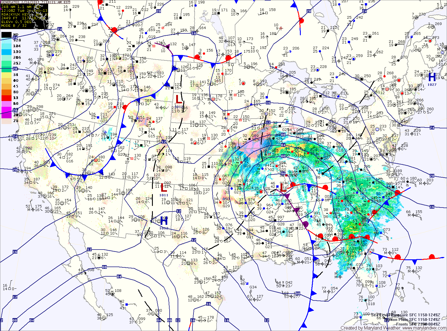
Further east, a Winter Weather Advisory is in effect for Washington county where a changeover to rain is expected this afternoon.
Even further east, expect rain to develop later this morning, possibly starting as a brief period of sleet. The rain will be steady through the day and into tonight.
A Flood Watch is in effect for the central part of the state, where around an inch of rainfall is expected.
The main storm moves off the coast tomorrow, while a series of disturbances bring a chance of showers tomorrow through Thursday. The showers could mix with snow at times during the overnight. Highs both days will be around 50 degrees.
Expect a cold and dry weekend, except in western Maryland where upslope snow showers will be likely. Highs will be in the low to mid 40s Friday through Sunday.
Yesterday’s Weather Station Stats:
High Temp: 47.6°
Low Temp: 26.6°
Rain: 0.00″