
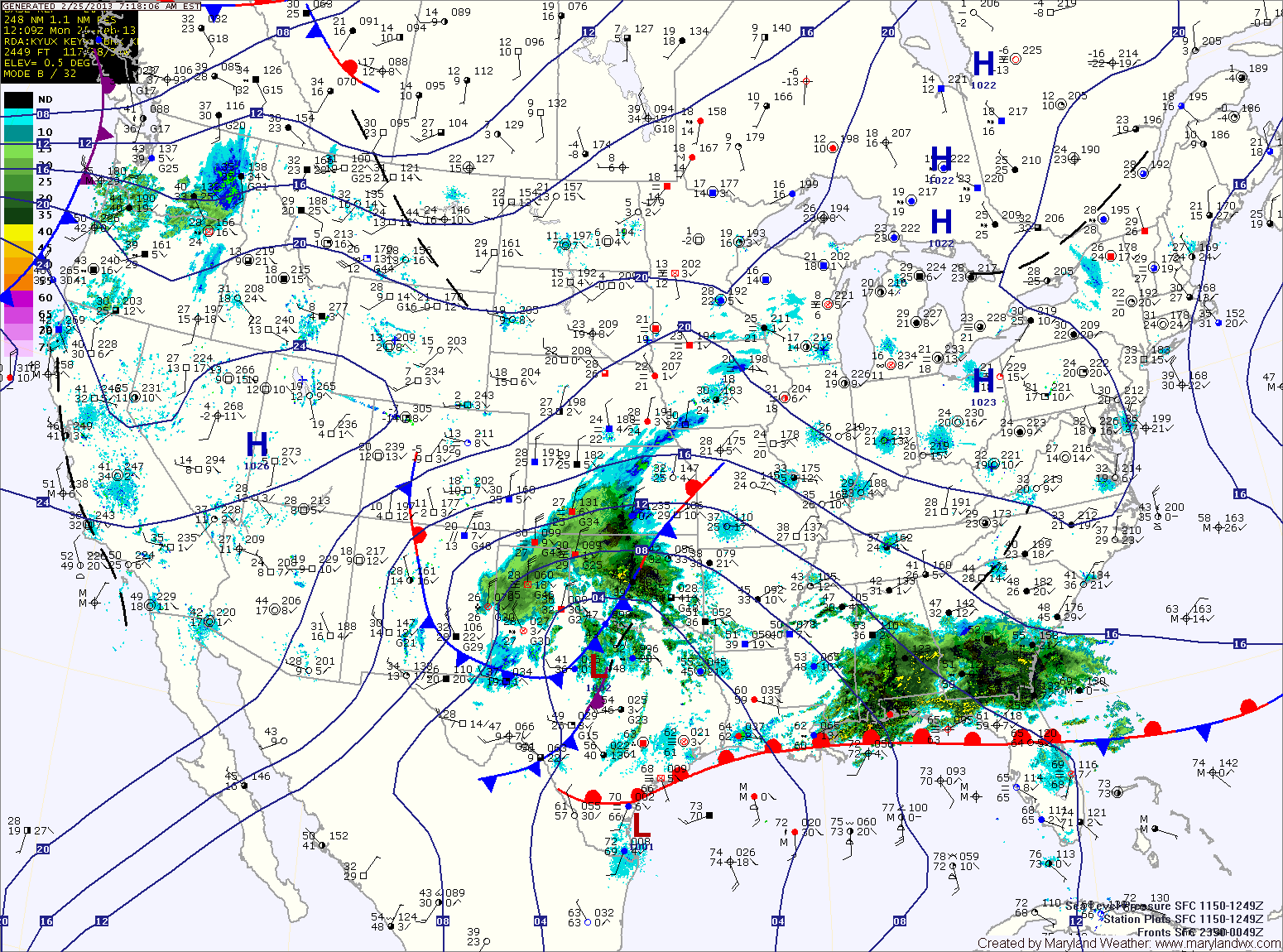
An area of low pressure will approach from the southwest tomorrow, spreading rain across the area. In far Western Maryland, it will be cold enough at the surface for a significant ice accumulation.
A Winter Storm Watch is in effect for Garrett and Allegany counties for up to a quarter inch of ice accumulation.
Elsewhere, the rainfall may begin as a brief period of sleet before quickly changing to plain rain. Highs tomorrow will be in the low to mid 40s.
The rainfall will continue into tomorrow night before tapering off. Rainfall totals of a half to three quarters of an inch are possible.
An upper level disturbance will push through on Wednesday, maintaining the cloud cover and possibly producing scattered showers. Highs will be in the mid 50s.
Another disturbance will move through on Thursday, bringing another slight chance of showers with it. Highs will be in the mid 40s.
At this time, it appears we will see a dry end to the week and weekend, with highs in the low 40s.
Yesterday’s Weather Station Stats:
High Temp: 50.9°
Low Temp: 32.1°
Rain: 0.00″