
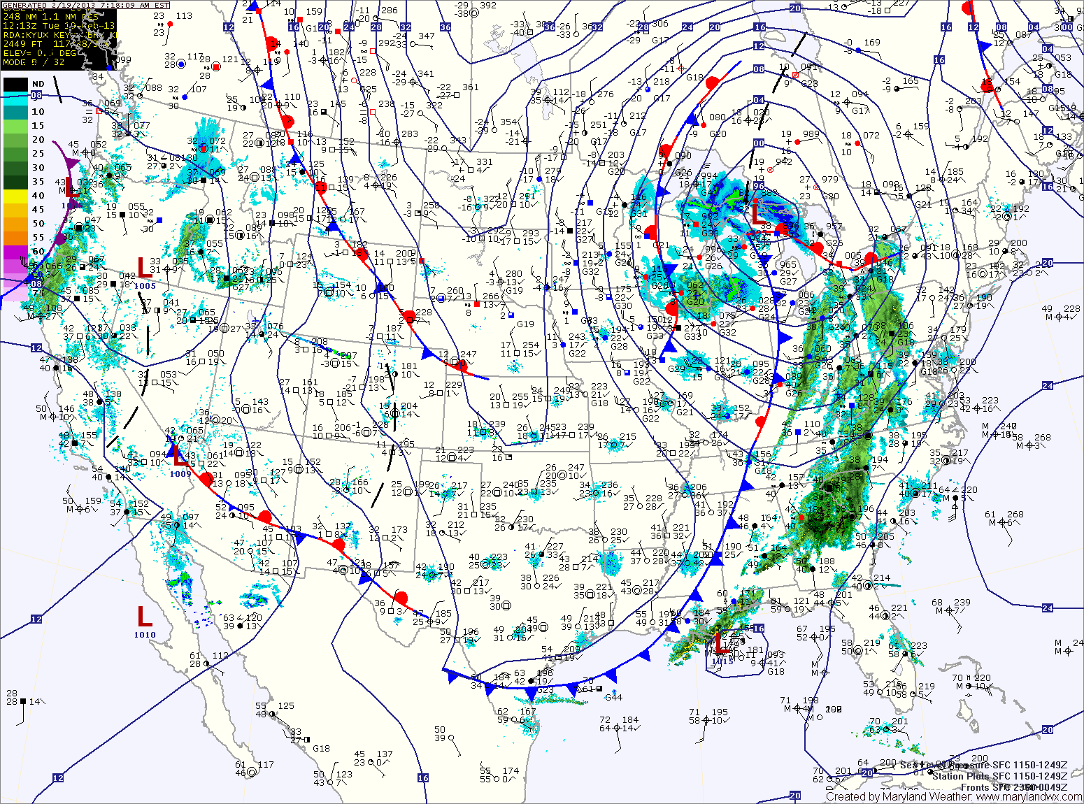
The rain will continue to move eastward through the day, spreading into central Maryland by late morning. Highs today will be in the upper 40s.
Rain will continue to fall into this evening, as the front pushes through. Behind the front, winds will increase tonight, gusting to near 30mph.
High pressure builds in tomorrow and Thursday while northwest winds continue to gust to around 30mph. Highs both days will be around 40 degrees.
Clouds begin to increase Thursday night as another area of low pressure moves towards the region.
A shallow wedge of cold air could make a light wintry mix possible Friday into Friday night as precipitation overspreads the area from the southwest. A second low may bring more rain to the area Saturday.
Yesterday’s Weather Station Stats:
High Temp: 41.1°
Low Temp: 20.7°
Rain: 0.00″