
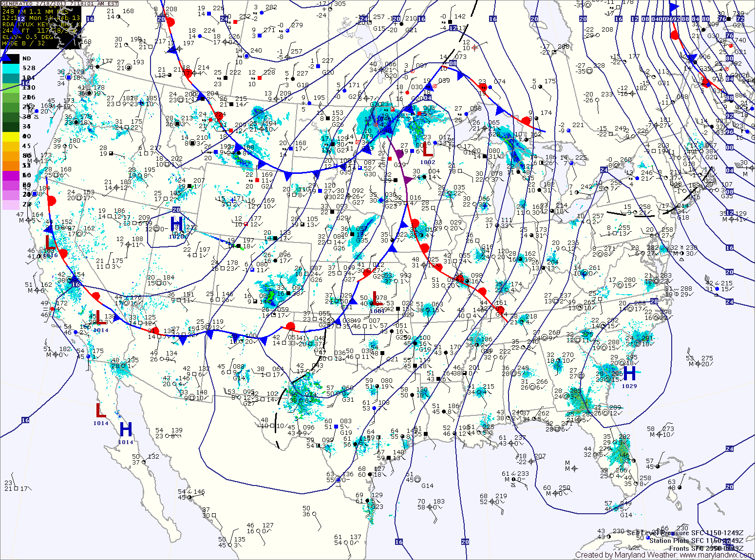
Clouds increase tonight as a cold front approaches from the west. The front will bring rain to the area tomorrow. The rain could start as sleet or freezing rain, especially north and west of I-95. Any frozen precip will be light and will change over to rain by late morning. Highs will be in the upper 40s.
The front clears the state tomorrow evening, bringing an end to the rainfall. Behind the front, gusty northwest winds will develop tomorrow night and Wednesday.
Wednesday will be mostly sunny with northwest winds gusting to near 30 mph. Highs will be in the upper 30s to around 40.
High pressure will remain in control through Thursday, providing another mostly sunny day. Highs will be in the low 40s.
Clouds increase Thursday night as another area of low pressure moves towards the region on Friday, bringing another possible wintry mix to end the week.
Yesterday’s Weather Station Stats:
High Temp: 32.9°
Low Temp: 24.0°
Rain: 0.00″