
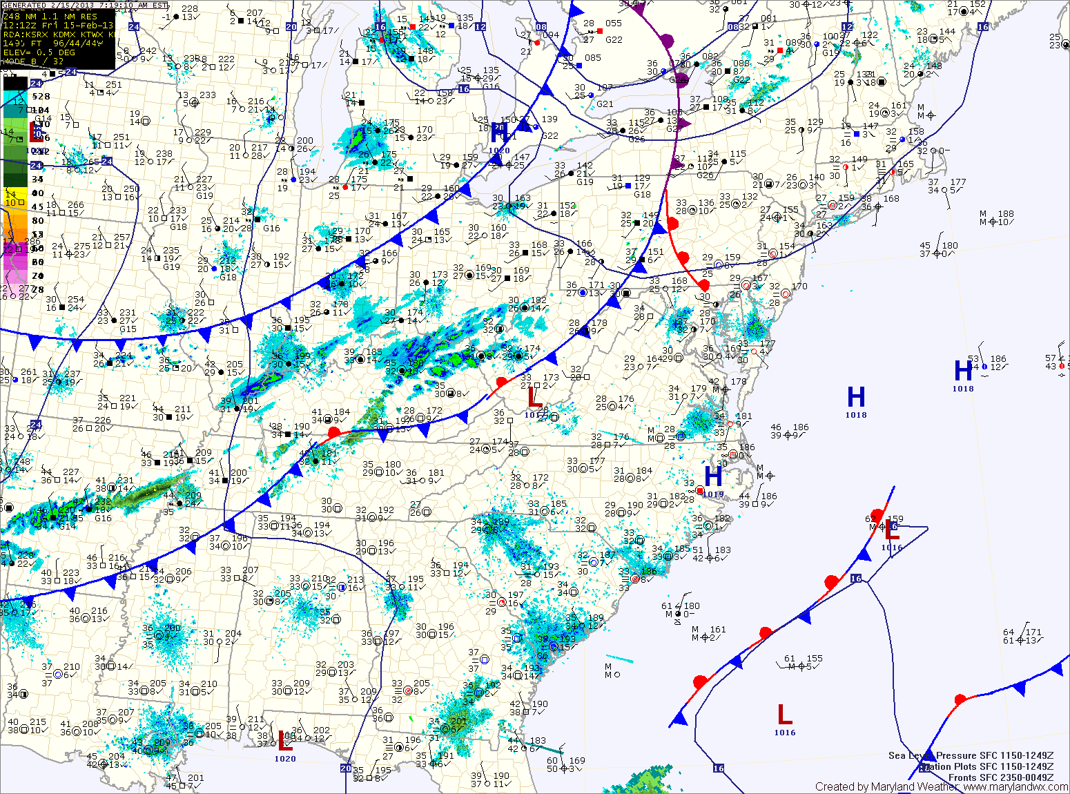
A small area of low pressure is expected to form along the front and move through this evening and tonight. Light rain will develop this evening and change to snow overnight. A light accumulation of around an inch is possible by tomorrow morning, especially along the Mason-Dixon line.
As the front moves off shore, the models are now leaning back towards developing a strong low pressure along it. Currently, it appears the low will develop far enough off shore to bring only a brief period of snow to the state Saturday night, before it moves northeast and brings heavier snow to New England.
This is a highly variable situation and forecast confidence is extremely low. If the low forms further south and west, we could see more snow. If it forms further north and east, we may see no snow at all.
Updates to the forecast will be made if newer model data indicates a change is needed.
Skies will clear on Sunday as cold high pressure takes control. Highs Sunday will top out in the mid 30s.
The high will give way to another storm system that will move by to our northwest on Tuesday, bringing a cold front and rain to the area through Tuesday night.
Wednesday and Thursday look quiet, before another storm system affects the area on Friday.
Yesterday’s Weather Station Stats:
High Temp: 47.8°
Low Temp: 30.3°
Rain: 0.09″