
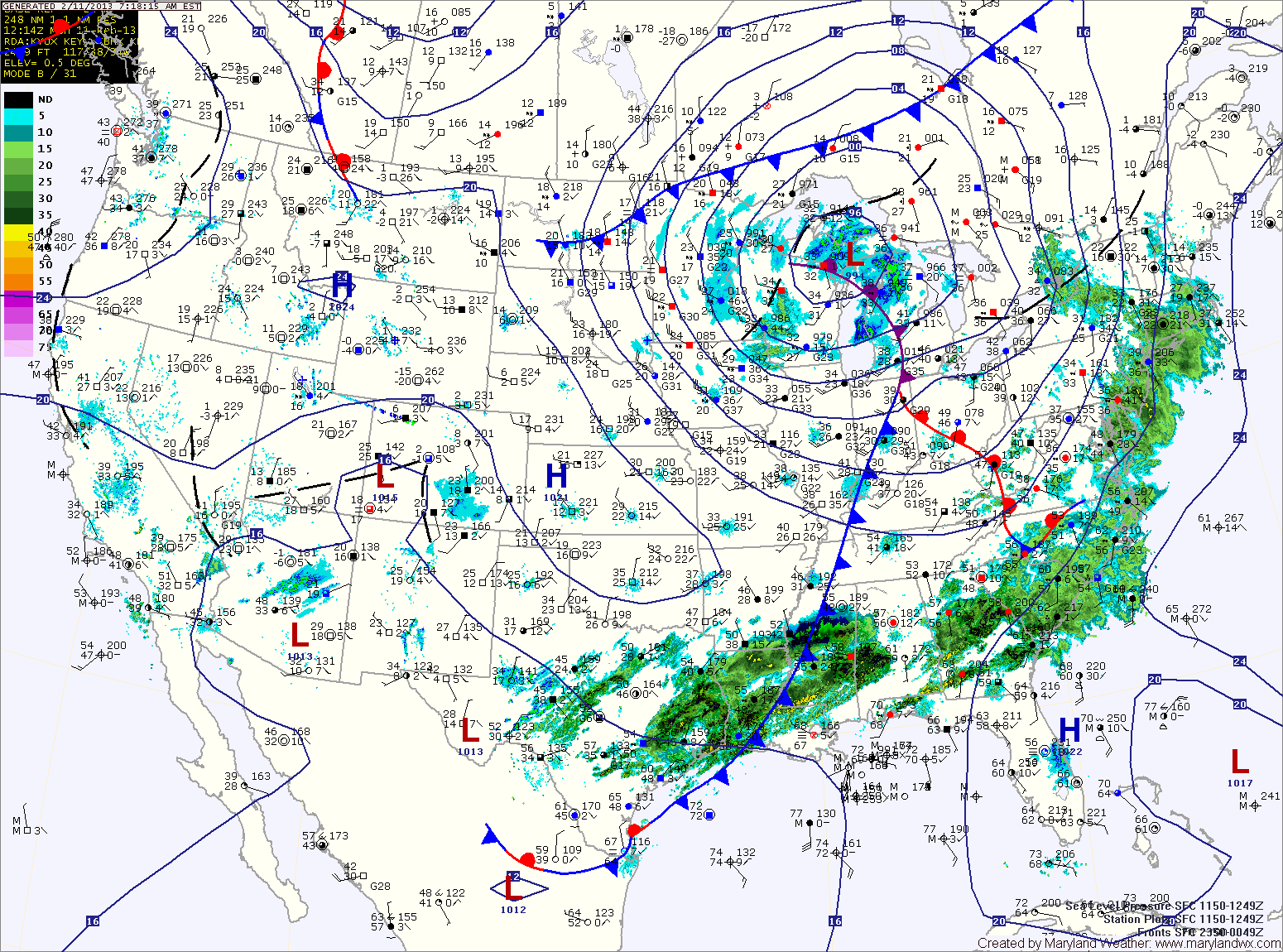
A cold front will cross the area this afternoon, bringing an end to the rain chances while increasing winds. Highs today will top out in the low 50s.
High pressure controls the weather tomorrow, delivering a mostly sunny day. Highs will be around 50.
Another area of low pressure will move towards the mid-atlantic Tuesday night into Wednesday. This system will bring precipitation to the area Wednesday and Wednesday night. While we’ll be on the colder/northern side of the low, the cold air will be marginal.
The precipitation type will be highly dependent on the exact track of the low, as well as the amount of cold air that can work in beforehand. At this time, it appears a rain/snow mix is likely Wednesday into Wednesday night.
Behind that system, skies clear again on Thursday and Friday. Highs both days will be in the mid 40s.
Another, potentially bigger coastal system may affect the area over the weekend. At this time, it is simply something to watch.
Yesterday’s Weather Station Stats:
High Temp: 42.5°
Low Temp: 17.6°
Rain: 0.00″