
The phasing of these systems will occur too late for our area to see any significant precipitation and warmer air will ensure that most if not all that falls will be in the form of rain.
Clouds will continue to overspread the area ahead of the system today. Highs will be in the upper 30s to around 40.
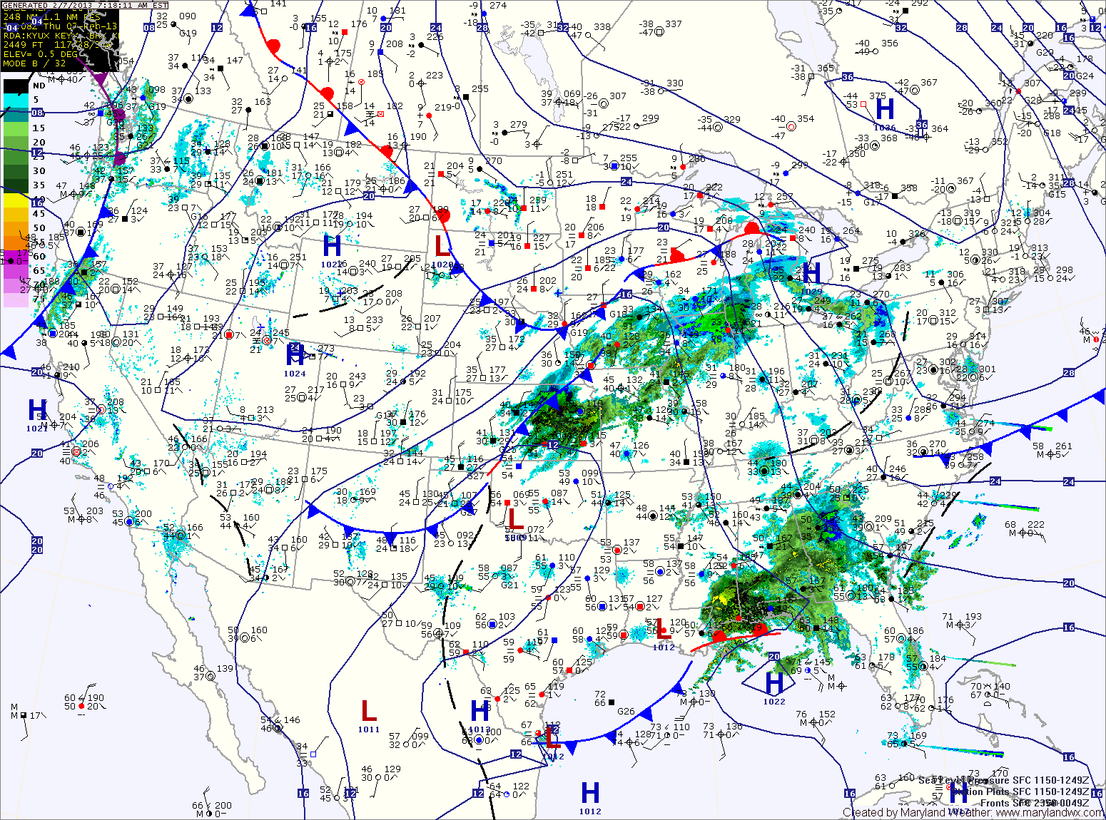
Precipitation will move into the region tonight, possibly beginning as a rain/snow/sleet mix before changing over to plain rain by morning. Rain will continue tomorrow, into tomorrow night, possibly ending as light snow showers. Highs will be in the mid 40s. Winds will increase through the day, possibly gusting to near 40 by tomorrow night.
Winds will continue to be the main story on Saturday under clearing skies. Highs will be in the mid to upper 30s.
Sunday will be pleasant, with light winds under mostly sunny skies and highs in the mid 40s.
A cold front will move through on Monday, bringing another chance of rain. Highs will be in the mid 50s.
A dry Tuesday and Wednesday are expected before another system impacts the area late Wednesday or Thursday.
Yesterday’s Weather Station Stats:
High Temp: 43.7°
Low Temp: 27.5°
Rain: 0.00″