
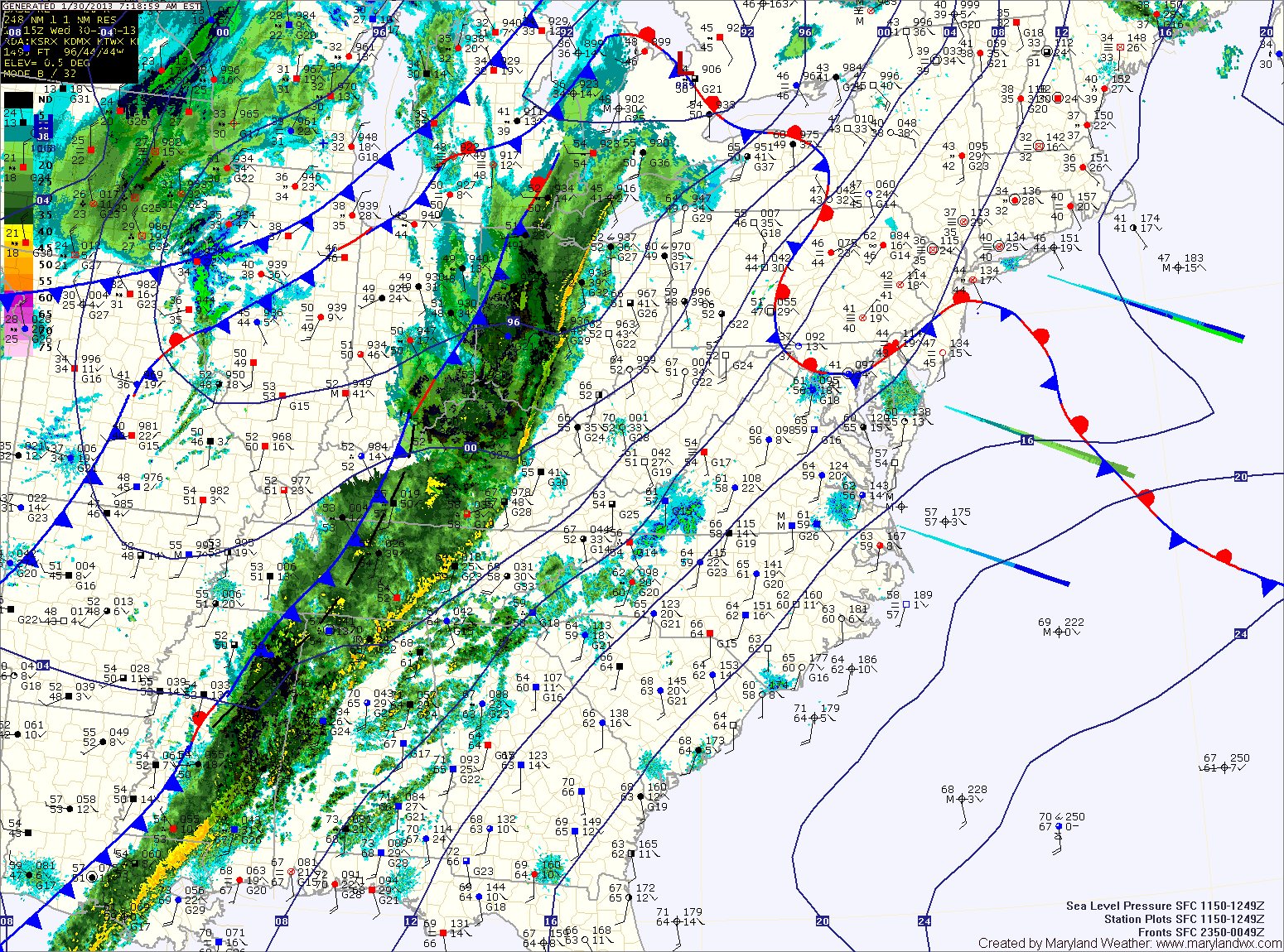
Showers will develop later this afternoon, becoming more widespread this evening. Additionally, thunderstorms will be possible tonight.
Some of the storms may become severe with strong gusty winds. Rainfall totals of 1-2 inches are likely before the front clears the area early tomorrow morning.
Colder air will stream into the area tomorrow on gusty northwest winds. Highs will top out in the mid 40s.
There is a slight chance of snow showers tomorrow night into Friday morning as a weak clipper system moves through. Highs Friday will be in the mid 30s.
A breezy and cold weekend is on tap, highs Saturday will be in the mid to upper 30s, while highs on Sunday will be in the low to mid 40s. There is also a chance of snow showers Saturday night as yet another clipper system moves through.
Looking to next week, expect near normal temperatures through midweek.
Yesterday’s Weather Station Stats:
High Temp: 64.6°
Low Temp: 31.6°
Rain: 0.00″