
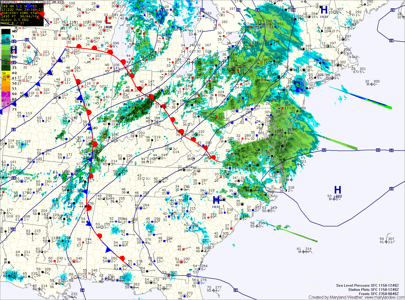
All areas east of the mountains should be safely above freezing by noon.
Shower chances will continue this afternoon and into tonight.
Tomorrow we will be between storm systems as a warm front slowly pushes north of the state. Temperatures will warm into the low 50s under partly sunny skies.
A strong cold front will approach on Wednesday. Out ahead of it, temperatures will approach 60 degrees in most areas. The front will bring rain and even thunderstorms to the area Wednesday into Wednesday night. Some of the storms could be strong to severe, with damaging winds the main threat.
The front clears on Thursday and much colder air begins to work back into the region. Highs on Thursday will be in the mid 40s with gusty northwest winds making it feel even colder.
A weak disturbance will push through on Friday, possibly touching off some light snow showers. Highs will be in the mid 30s.
Saturday looks cold but dry while another weak system looks to bring more snow showers on Sunday.
Yesterday’s Weather Station Stats:
High Temp: 36.4°
Low Temp: 14.8°
Rain: 0.02″ (Snow melt)