
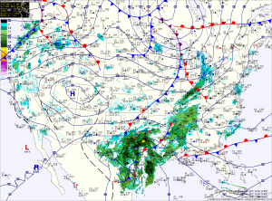
A dry cold front will cross tonight, dropping temperatures back into the low 50s tomorrow.
Another cold front will push through on Friday and this one will bring light rain to the area into Friday night as it crosses.
Warm high pressure takes control over the weekend, with highs on Saturday and Sunday in the low 60s.
A series of disturbances will keep next week unsettled with shower chances off and on through the week.
A return to colder temperatures is looking more likely by the end of next week.
Yesterday’s Weather Station Stats:
High Temp: 51.0°
Low Temp: 23.3°
Rain: 0.00″