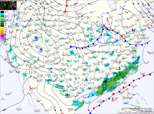
Today will be mostly sunny with a high in the upper 30s.
Friday will feature another mostly sunny day with highs in the low 40s.
Temperatures will slowly increase over the weekend, with highs Saturday and Sunday in the low to mid 40s.
A weak system passing through Saturday night may bring a few flurries to the area.
As we move into next week, highs will continue to climb, hitting the upper 40s by Tuesday.
A potent storm system will drag a cold front through the region Wednesday into Thursday, bringing with it a chance of rain and cooler temperatures to end the week.
Yesterday’s Weather Station Stats:
High Temp: 38.1°
Low Temp: 25.5°
Rain: 0.00″
